As the 2026 Atlantic hurricane season continues, meteorologists are monitoring a developing weather disturbance off the Southeast U.S. coast that could eventually strengthen into a named storm.
The next name on the list is Bertha, but experts stress that the odds of full tropical development remain low for now.
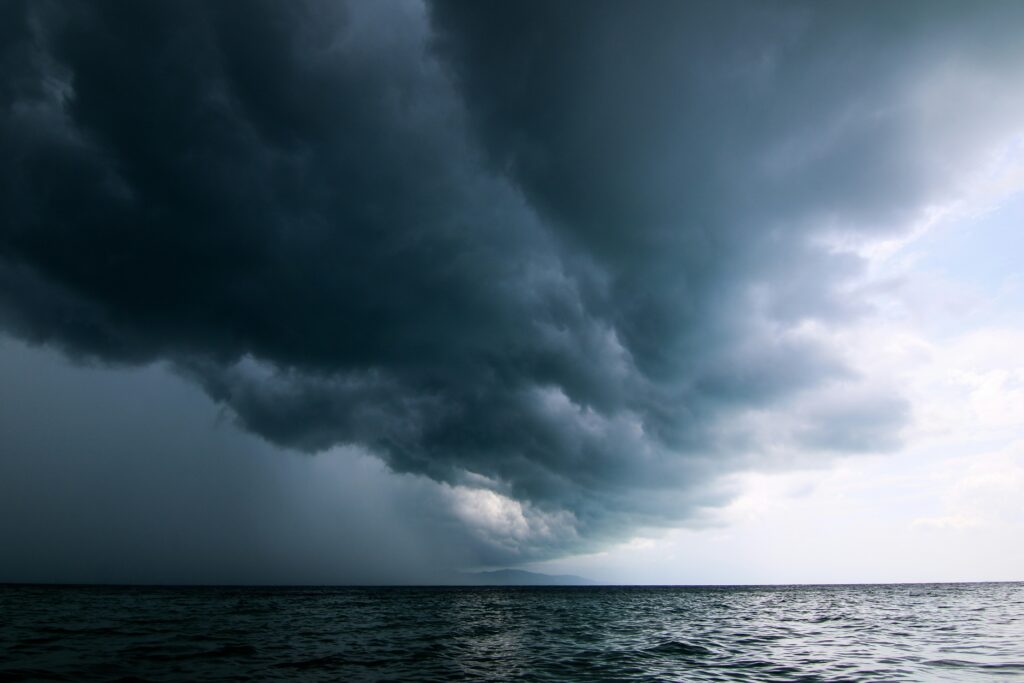
According to the National Hurricane Center (NHC), a broad area of low pressure is expected to form along a stalled frontal boundary near the Southeast coastline.
This system is currently projected to drift toward the Carolinas early next week, with gradual development possible if conditions allow.
The disturbance is still in its early stages, and forecasters note that many such systems fail to organize into full tropical cyclones. Residents should treat this as a situation to watch rather than an immediate concern, as projections can shift with new data over the coming days.
Even if the system does not intensify into a hurricane or tropical storm, it could still influence local weather patterns.
Parts of the Southeast, including Georgia, may see increased chances of showers and thunderstorms next week. Coastal areas could experience rougher surf and elevated rip current risks, especially if the low-pressure area lingers offshore.
Early in the hurricane season, some tropical developments arise from stalled frontal boundaries interacting with warm Atlantic waters rather than the more typical tropical waves from farther out in the ocean.
The current environmental setup, including influences from patterns like El Niño, can sometimes encourage activity closer to the U.S. mainland
That said, the NHC currently rates the probability of tropical cyclone formation as very low over the next seven days. Forecasters will continue to gather data and update models as the disturbance evolves.
While this system poses limited risk right now, hurricane season runs through November—it’s always smart to review emergency plans and supplies.
This serves as a reminder of how dynamic tropical weather can be, even early in the season. For real-time tracking, visit official resources such as the National Hurricane Center or The Weather Channel.