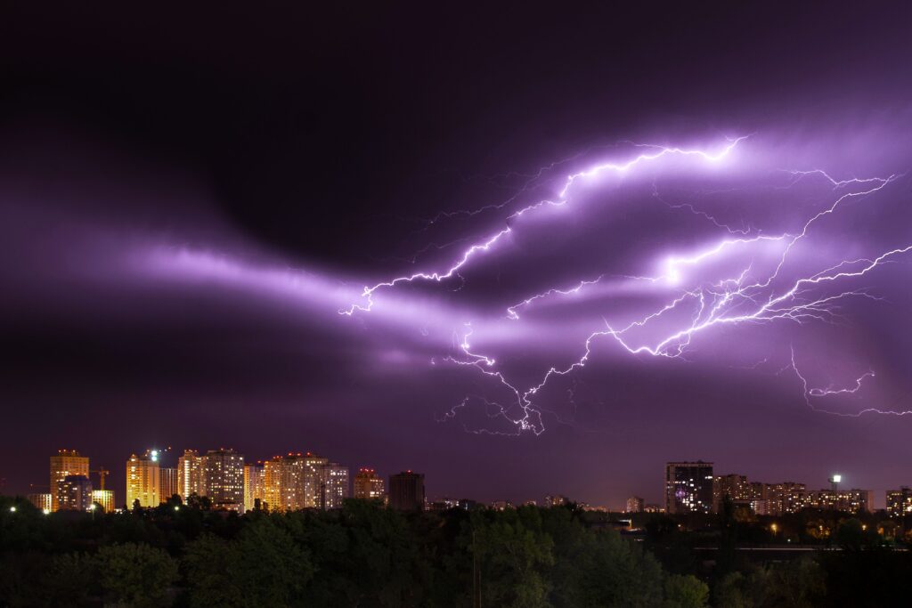
Parts of the American Southwest face a challenging stretch of weather and severe thunderstorms as Thursday evening approaches, with conditions expected to turn severe in several mountain and desert regions.
Forecasters have highlighted growing risks tied to intense rainfall in Colorado, New Mexico, and Utah, where monsoonal activity is set to bring powerful downpours.
Officials note that these storms could deliver rainfall totals reaching as much as two inches within a single hour in the hardest-hit zones. Because of the potential for rapid water accumulation, authorities have issued flash flood warnings covering portions of all three states. Residents in the affected areas are being urged to monitor local alerts closely as the system develops.
The National Weather Service provided this assessment of the situation.
“Scattered monsoonal showers and thunderstorms will be expected once again today across the central Rockies and adjacent areas of the Intermountain West. Isolated to scattered areas of flash flooding will be possible.”
Additional details from the agency underscore the atmospheric setup driving the threat.
“Strong diurnal heating along with anomalous monsoonal moisture across the central Rockies and adjacent areas of the Intermountain West will once again promote at least scattered areas of showers and thunderstorms today that will be capable of locally high rainfall rates. Already there are pockets of convective initiation occurring across central and western CO on down through northern and western NM. GOES-W based LightningCast data shows areas of central and eastern UT will also be seeing convective initiation soon.”
These factors combine daytime heating with unusually high moisture levels drawn northward from monsoonal patterns, creating an environment ripe for repeated rounds of heavy precipitation. Early signs of storm development have already appeared in parts of Colorado and New Mexico, with similar activity anticipated soon in Utah.
Communities situated near the central Rockies and neighboring Intermountain West landscapes should prepare for the possibility of sudden flooding in low-lying spots. Even areas not typically prone to water issues can experience rapid changes when rainfall rates climb so high.
Meteorologists emphasize that the scattered nature of the storms means some locations may see only brief activity while others endure prolonged heavy rain. This uneven distribution makes it essential for people to stay informed through official channels rather than relying solely on general forecasts.
To help the public stay safe, the National Weather Service has shared several practical recommendations for handling periods of intense rainfall.
Individuals should avoid places that flood easily, including dry stream channels, roadside ditches, and drainage systems, whenever heavy precipitation is falling. Anyone facing a rising water threat in their vicinity is advised to relocate promptly to elevated terrain.
Those living or working in regions known for flooding need to maintain heightened awareness throughout the duration of the storms. Nighttime hours demand extra caution because darkness makes it more difficult to spot rising water or other hazards.
Drivers in particular must exercise extreme care and refuse to enter any roadway covered by water whose depth cannot be determined. Most fatalities linked to flash floods occur when motorists attempt to cross flooded roads, so the long-standing advice remains clear: turn the vehicle around and seek another route.
If a car becomes stranded in rising water, occupants should leave it at once and move to higher ground, since the flow can quickly overwhelm and carry the vehicle away.
Finally, people are strongly discouraged from entering any already flooded zones, as the water may continue rising and moving with dangerous force capable of knocking a person off their feet or sweeping vehicles downstream.
Following these guidelines can significantly reduce the risks associated with the expected monsoonal activity across the three-state region.