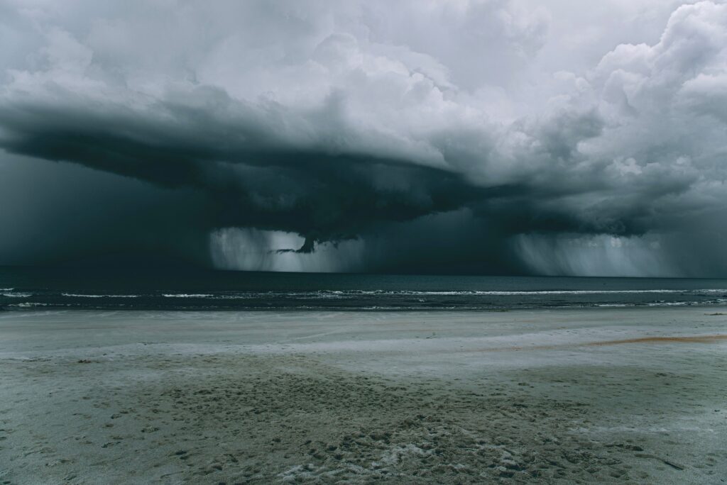
In the warm waters of the eastern Pacific, a new tropical depression has taken shape well away from land, setting the stage for what forecasters believe could become the season’s next named hurricane.
According to the National Hurricane Center, the system emerged on Tuesday, July 14, 2026, roughly 560 miles south of the southern tip of Mexico’s Baja California peninsula. With maximum sustained winds currently at 35 mph, it is moving westward at a steady 18 mph, carrying it further out into open ocean.
While the depression remains far from any coastline, meteorologists expect it to strengthen gradually over the coming days as it benefits from favorable sea surface temperatures and low wind shear.
If forecasts hold, the system could reach tropical storm strength soon and intensify into a hurricane by Thursday night. This progression would mark another active chapter in what has already been a busy Pacific hurricane season.
No coastal watches or warnings have been issued, and the storm’s projected path keeps it well offshore, reducing immediate threats to populated areas in Mexico or the southwestern United States. However, mariners in the region are advised to monitor developments closely, as even moderate tropical systems can produce rough seas and strong winds far from their centers.
Tropical depressions like this one often form in the eastern Pacific during the peak months of the hurricane season, fueled by the region’s consistently warm waters.
As the system organizes and deepens, it draws energy from the ocean, potentially spinning up into a formidable storm. Forecasters will continue to track its movement and intensity using satellite imagery, aircraft reconnaissance if needed, and computer models that simulate its future behavior in the atmosphere.
For residents along Mexico’s Pacific coast and the Baja peninsula, the primary concern at this stage is vigilance rather than immediate action. Even storms that remain offshore can occasionally shift or send moisture inland, leading to increased rainfall or gusty conditions in some areas.
Officials recommend that people stay informed through reliable weather sources and prepare emergency kits as a routine precaution during hurricane season.
This development comes amid broader patterns of heightened tropical activity in the basin, where sea temperatures have remained elevated, providing ample fuel for storm formation.
As the depression evolves, the National Hurricane Center will issue regular updates on its status, projected track, and potential impacts.
For now, the system serves as a reminder of the dynamic forces at play in our oceans and the importance of preparedness even when threats appear distant.