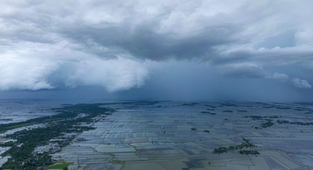
The National Hurricane Center has officially flagged a new region for potential tropical development, shifting attention back to the waters surrounding the southeastern United States.
The designated watch zone spans a broad stretch of territory, originating in the Gulf waters near Florida’s Big Bend, crossing over the Florida peninsula, and extending along the coasts of Georgia and South Carolina.
Meteorologists expect an area of low pressure to gradually take shape over this region as the weekend approaches.
While the National Hurricane Center currently estimates the probability of tropical development as low, the physical center of the system has not yet formed, and the odds of a hurricane taking shape are increasing.
At the very least, the southeast U.S. should be prepared.
The FOX Forecast Center noted that tracking a specific center of circulation is impossible until a distinct low-pressure system actually emerges. Only then can forecasters establish a precise timeline and map out the exact path of the potential storm.
Even if the system fails to organize into a named tropical storm, residents along the southeastern coastline and northern Florida should prepare for wet weather.
Tropical downpours are highly likely across these areas regardless of whether the system achieves tropical status, which requires organized thunderstorms to rotate around a defined, warm-water center.
This kind of development is typical for mid-summer. July systems frequently emerge as homegrown threats, forming very close to the United States mainland rather than traveling across the wider ocean.
Fueled by sea surface temperatures that are currently running warmer than average in both the Gulf of ocean water and off the Atlantic coast, the environment remains friendly to localized storm development.
In contrast, the deeper, open waters of the Atlantic Ocean remain quiet and largely inhospitable to storm formation. High-altitude wind shear, thick plumes of dry Saharan air, and standard sea temperatures are currently choking off potential systems far out at sea.
This hostile environment has contributed to a relatively slow start to the annual storm season. If the current disturbance manages to organize and gain strength, it would become the second named storm of the season, taking on the name Bertha.