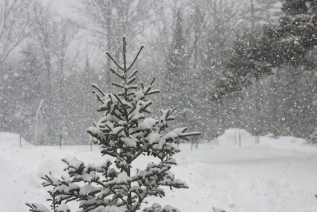
Parts of the northern United States experienced an unexpected dose of winter weather earlier this week, even as summer officially continued across the calendar. Residents in Idaho, Montana, and Wyoming woke up to significant accumulations of snow that disrupted daily routines and reminded many that seasonal patterns can still deliver surprises.
The heavy snowfall created immediate challenges for local communities, forcing people to clear driveways and sidewalks amid conditions more typical of the colder months. With the nation preparing to celebrate its 250th anniversary in just a few days, the contrast between festive summer expectations and actual wintry scenes stood out sharply in the region.
Amounts varied by location, but some areas saw particularly deep coverings. Ski resorts benefited from the fresh deposits, adding to the unusual atmosphere for the time of year.
“It wasn’t just those two communities affected, though. Ski areas around the state received some fresh powder, highlighted by Discovery getting eight inches and Darkhorse Lake, near the Montana-Idaho state line, receiving 16 inches,” KTVQ wrote.
Although the main burst of snow has begun to ease in certain locations, the aftermath continued to affect travel throughout the affected zones. Road crews worked diligently to restore safe passage, yet many routes remained difficult or impassable for regular drivers.
“THIS is why the highway remains CLOSED at the MT/WY state line. Give the Plowboys time to get this mess cleared and conditions safe for travel. Monitor @511mt.net for accurate highway status information. Do NOT use map apps!” the official Beartooth Highway account said on social media showing snow drifts several feet high.
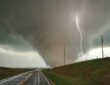
Farther north, officials issued fresh alerts as another system brought potential troubles to Alaska. The National Weather Service highlighted risks from a combination of rain, snow, and ice that could create slippery or hazardous surfaces in vulnerable spots.
“Expected precipitation across N Alaska through Thu morning features steadier rain for the Upper Tanana Valley & E Alaska Range. Meanwhile, a frontal system brings rain and wintry mix to the NW Arctic Coast (Point Lay to Utqiagvik), with localized icing hazards possible,” the Fairbanks office of the National Weather Service said.
These warnings remain active from Tuesday evening straight through Thursday, prompting residents and travelers to stay vigilant about changing conditions on the ground and in the air.
Meanwhile, a dramatic weather divide has emerged across the country. While northern states manage lingering cold and snow, large sections of the central and eastern United States brace for intense heat that could pose serious health concerns, especially for those without reliable ways to stay cool or hydrated.
“With the combination of high humidity, heat indices may reach 100-110 Degrees,” said the NWS. “Much of the central and eastern U.S. is under a Moderate to Major HeatRisk, which can pose health impacts on those without hydration or cooling.”
In New Jersey, forecasters projected that the “feels like” temperature could climb as high as 111 degrees at times, underscoring the sharp regional differences playing out from coast to coast. This patchwork of extreme conditions highlights how variable weather patterns can unfold even within a single season, affecting everything from highway safety in the mountains to outdoor plans in urban heat zones.
As the country nears its milestone birthday, these contrasting forecasts serve as a vivid illustration of nature’s unpredictability across America’s diverse landscapes.