As summer officially approaches, parts of the Northern Rockies experienced a dramatic reminder that mountain weather can defy the calendar.
A surprise cold snap brought heavy, wet snow to high elevations in central Idaho, southwest Montana, and nearby Wyoming border areas just days before July, temporarily transforming popular summer travel routes into wintry hazards.
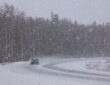
The system, driven by a slow-moving upper-level low, pushed snow levels down to around 6,500 feet in late June. Higher terrain saw accumulations ranging from several inches to as much as a foot or more in isolated spots, leading to precautionary closures on iconic routes like the Beartooth Highway (US-212) and Dunraven Pass in Yellowstone National Park.
Other passes, including Lost Trail Pass and Chief Joseph Pass, also saw slippery, slushy conditions that complicated driving.
For many valleys in western Montana and central Idaho, the impact was felt through a sharp temperature plunge. Areas that had been enjoying typical warm summer days saw highs drop into the 40s and 50s Fahrenheit, representing a decrease of 20–30 degrees in some locations.
Overnight lows dipped low enough for possible frost in the coldest spots, accompanied by strong winds that added to the challenging conditions on exposed roads.
This abrupt shift created hazardous travel for those heading into the mountains for early summer adventures. Slushy pavement and the risk of overnight refreezing on bridges, curves, and summits required extra caution.
Travelers were advised to check real-time road conditions via state resources like Montana 511 and Idaho 511, carry appropriate gear, and allow extra time—especially ahead of the busy July 4 holiday period.
Fortunately, the wintry phase was short-lived. As the cold low moved out, a rapid warmup began.
The same regions that shivered through unseasonably cold conditions are now poised for a strong rebound, with forecasts calling for temperatures climbing back into the 80s and low 90s by the July 4 weekend.
This local flip is part of a broader pattern. A building heat dome is expected to bring dangerously high temperatures—often in the 90s and even low 100s—to large swaths of the central and eastern United States from early July onward, affecting tens of millions and raising concerns for heat-related impacts during holiday travel and outdoor activities.
Such rapid swings highlight the volatility of transitional weather patterns, especially in mountainous terrain where elevation plays a major role.
What felt like winter one day can quickly shift to full summer heat the next. For residents and visitors in the affected areas, the message is clear: stay flexible with plans, monitor forecasts closely, and prepare for both ends of the temperature spectrum when heading into the high country this time of year.
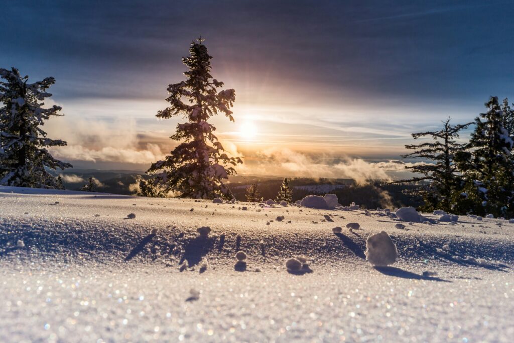
While the snow has mostly melted at lower elevations, the episode serves as a vivid example of how quickly conditions can evolve in the American West. Safe travels, and enjoy the warmth—now that it’s finally arriving.