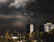
Forecasters are closely monitoring developing weather conditions as a stretch of hot, humid air grips the Northeast.
While there’s no need for immediate alarm, residents in parts of Upstate New York should stay informed about the possibility of strong thunderstorms that could produce damaging winds, hail, and perhaps a brief tornado.
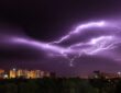
According to local meteorologists, a cluster of thunderstorms is expected to form late Tuesday afternoon or evening and continue into the early hours of Wednesday.
The most notable threats include gusty winds and large hail, with a low but noteworthy chance of an isolated tornado in some areas.
The Storm Prediction Center has placed parts of northern New York and northwestern Vermont in a 5% risk category for tornadoes.
This level indicates that roughly one in every 20 storms in the highlighted zone could potentially spawn a twister—enough of a signal for experts to flag it in advance, even though the overall probability remains modest.
Portions of the Capital Region fall into a lower 2% risk zone, where the threat is considerably reduced but not entirely ruled out.
Forecasts in these situations can shift quickly, so it’s wise to keep an eye on updates from reliable sources like the National Weather Service.
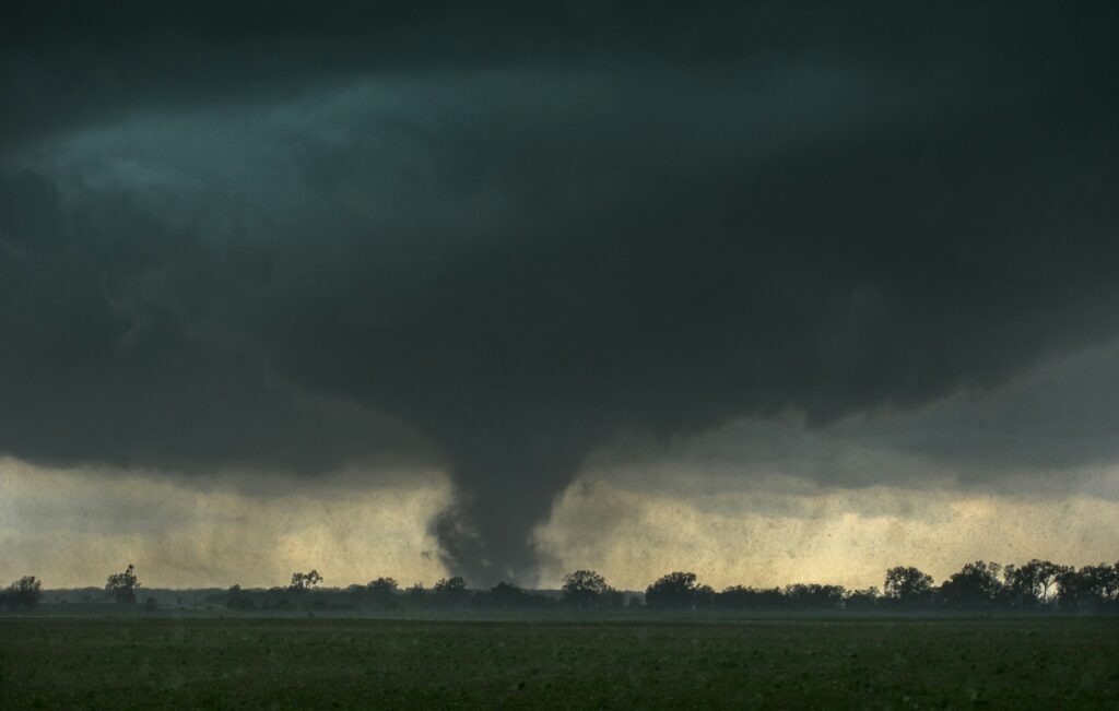
Tornadoes remain relatively uncommon in New York compared to the Great Plains, but they are not unheard of. The state has already seen six confirmed tornadoes so far in 2026.
A notable event occurred last July when a twister touched down in the region, serving as a reminder that volatile summer weather can occasionally produce rotating storms.
Most thunderstorms, even strong ones, do not produce tornadoes. However, the combination of heat, humidity, and atmospheric instability can create conditions favorable for brief, weak twisters or other severe weather.
For the latest developments, continue following updates from the National Weather Service and local meteorologists as the system approaches.