Southeast Missouri is still recovering from a deluge of extreme rainfall and flash flooding last week that delivered a heavy blow to local agriculture.
While the region is no stranger to summer storms, the intensity of this event has left farmers assessing significant damage, particularly to livestock operations along river corridors.
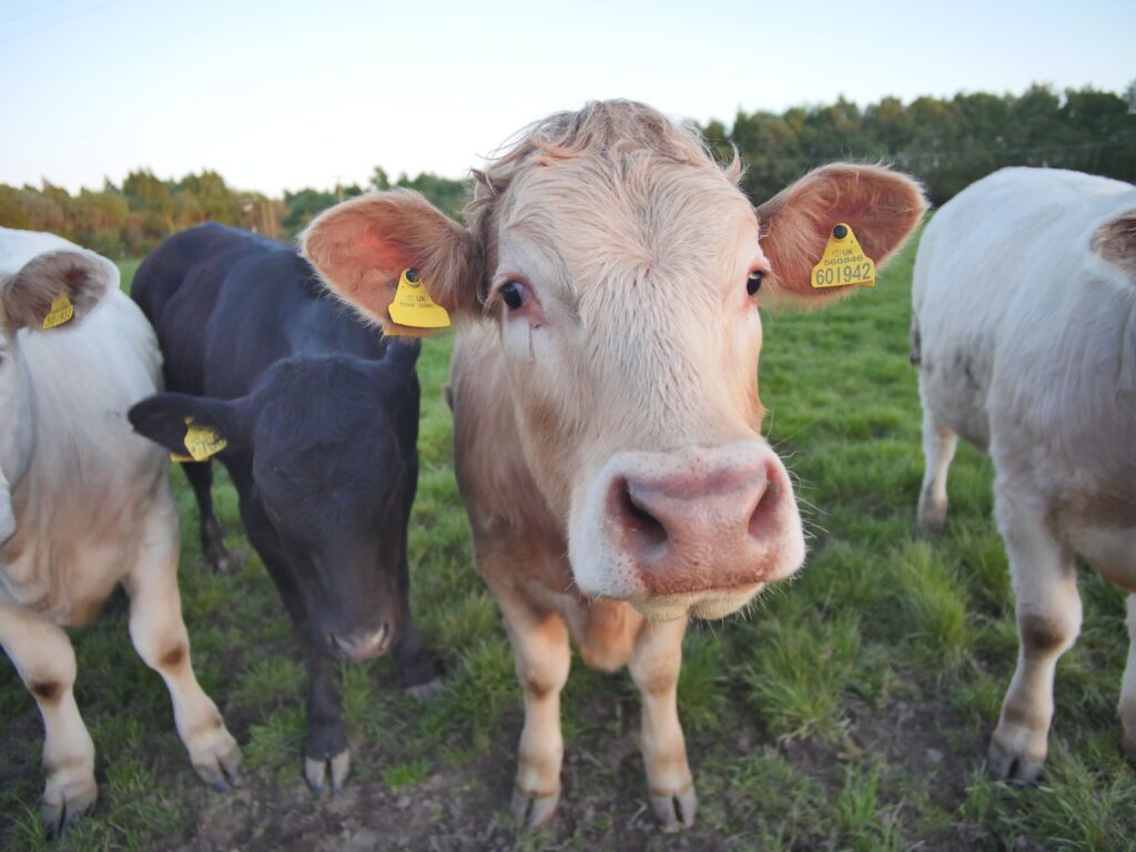
Cattle producer Jeff Reed, who operates in Wayne and Butler Counties along the lower Black River, described the severity of the flooding farther upstream. The upper reaches of the Black River bore the brunt of the storm, resulting in widespread property destruction and the loss of livestock swept away by rapidly rising waters.
“Several people lost whole herds. They’re still trying to get a handle on how many. In the Ozarks whenever it rains, all that water goes downhill real fast and cattle, you know, like cool places and that’s typically where the water is,” Reed explained.
In response to the crisis, Governor Mike Kehoe has declared a state of emergency. The Missouri Department of Agriculture is actively encouraging residents to report any lost cattle or any stray animals found as a result of the flooding.
Reed noted that while his own operation will likely see some river overflow affecting fields and fences, the impacts pale in comparison to the devastation experienced farther north.
“We’ll likely have the river come out on our fields and take some fence, but nothing nothing comparable to the damage they received up north,” he said.
Crop producer Aaron Porter, farming in Stoddard County, reported receiving as much as five inches of rain in the storm. Although his area avoided the most dramatic flash flooding seen along the Black River, standing water in fields and debris-clogged infrastructure still created challenges.
“On this farm we’re actually on right now, we’re trying to clean debris out of culverts. We did have some some banks that went over and kind of washed through the fields. But you know, it’s kind of a minor problem,” Porter told reporters.
According to the National Weather Service, such excessive rainfall and associated flooding are uncommon for the area. Looking ahead, forecasters expect a return to more typical mid-summer conditions, featuring warmer temperatures and a mix of scattered thunderstorms rather than widespread deluges.
The full extent of the agricultural toll from this historic rain event continues to emerge as farmers work to restore operations and account for losses.
Recovery efforts are underway, but the stories from Reed, Porter, and others highlight the vulnerability of livestock and cropland in low-lying and river-adjacent areas during intense weather episodes.