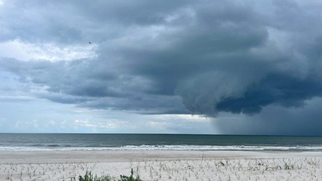
As the 2026 Atlantic hurricane season continues its relatively subdued start, meteorologists are turning their attention to the eastern Gulf of Mexico, where conditions could favor some form of tropical organization over the coming days.
While the broader Atlantic basin remains largely suppressed by unfavorable atmospheric factors, the warm waters of the Gulf are creating a more hospitable environment for possible storm development closer to the U.S. coastline.
Forecasters at the FOX Forecast Center have noted that several computer models are hinting at a disturbance forming in the region later this weekend.
A weakening cold front is expected to leave behind pockets of unsettled weather, which could allow a broad area of low pressure to develop and gradually gain some structure over the elevated sea surface temperatures. At this stage, however, details regarding the system’s exact strength, timing, or track remain highly uncertain.
The latest assessment from FOX Weather’s exclusive Tropical Threat outlook indicates only a low probability of the system becoming organized enough to earn a name through early next week.
Residents along the eastern Gulf Coast, particularly in Florida, are encouraged to stay informed through regular forecast updates but should not feel immediate alarm. This kind of activity is fairly typical for mid-July, when “homegrown” systems often emerge near land rather than traveling long distances from the open ocean.
The current quiet period in the Atlantic stems from several inhibiting factors, including strong wind shear, extensive Saharan dust plumes drifting across the basin, and generally average ocean temperatures farther offshore.
These elements have limited the formation of storms in the main development region so far this season. To date, Tropical Storm Arthur, which made landfall along the Texas coast in mid-June, stands as the only named system of 2026.
In contrast, the Gulf and adjacent southeastern coastal waters are running notably warmer than normal, providing abundant energy that could support thunderstorm activity and potential spin-up.
Meteorologist Britta Merwin described the situation as one where the necessary fuel is present, though current model trends show only a modest uptick in activity without raising major concerns yet.
Should development occur, the next storm in line would receive the name Bertha. Experts emphasize that while the risk is currently minimal, ongoing monitoring is essential given how quickly conditions can evolve in the Gulf during the heart of hurricane season.
For now, the focus remains on watching the evolving pattern and preparing for the possibility of increased rainfall and gusty conditions in the affected areas.
Stay tuned to reliable weather sources for the most current information as this situation progresses.