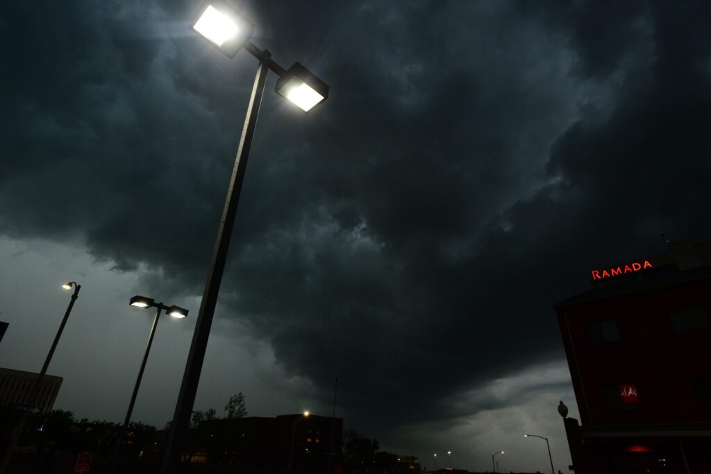
The National Weather Service has issued alerts for dangerous weather across parts of the northeastern United States, with severe storms forecasted to impact the region on Tuesday, July 14. Officials are encouraging residents to prepare for potentially intense thunderstorm activity that could bring significant hazards.
Forecasters anticipate a mix of powerful weather elements, including loud thunder and frequent lightning, torrential rainfall, strong gusts of wind, and the chance of large hail. These conditions have prompted heightened awareness in several states where the storms are expected to track.
The states currently under watch include New York, Vermont, New Hampshire, and Maine. Residents in these areas are being advised to stay alert as the system moves through, since conditions can change rapidly and produce damaging effects.
Experts recommend keeping up with the latest developments through trusted local media outlets or official weather radio broadcasts. This ongoing monitoring helps individuals react appropriately when watches or warnings are upgraded.
At home, it is wise to identify a safe interior space away from windows and exterior walls in advance. If a severe thunderstorm warning is issued, move there quickly along with family members and pets if time permits, as strong winds or hail may arrive with little notice.
In workplaces, schools, or other public buildings, people should avoid sitting near windows during active warnings. Large open spaces such as cafeterias, gyms, or auditoriums should also be avoided, since they offer less protection from flying debris or structural stress caused by high winds.
Those who find themselves outdoors when storms approach should seek shelter inside a solid, well-constructed building without delay. Temporary structures like sheds offer little safety, and seeking cover beneath trees is strongly discouraged because of the dual dangers of falling branches and increased lightning risk.
Motorists receive relatively better protection inside their vehicles compared to being exposed outside. However, if sufficient time exists, drivers should head toward the nearest sturdy shelter rather than remaining on the road.
The National Weather Service continues to track the storm system and will update forecasts as new information becomes available. Local emergency management teams are also standing ready to assist communities if impacts prove more severe than anticipated.
Preparation remains the best defense against such weather events. By reviewing safety steps now and sharing them with others, residents across the affected states can reduce their vulnerability and respond effectively when the storms arrive.
Staying informed and acting decisively will help ensure safety for families and individuals throughout the region.