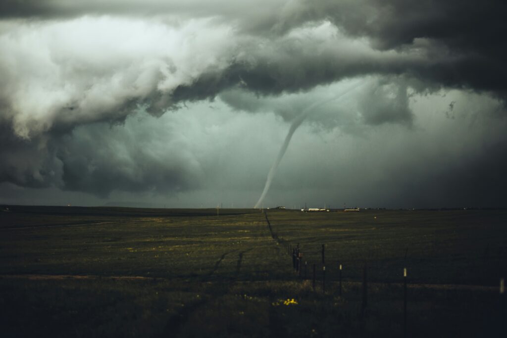
A powerful heat wave has gripped large swaths of the Canadian Prairies, bringing not only scorching temperatures but also a surge in dangerous weather events. On Friday, Saskatchewan experienced a remarkable 10 reported tornadoes, matching a one-day record previously set just last summer.
Meteorologists attribute this burst of severe weather to a large upper-level ridge that has been drawing warm, moist air into the region.
This setup has created ideal conditions for both intense heat and instability in the atmosphere, leading to the outbreak of twisters across parts of Saskatchewan, which has a population of 1.26 million people.
Environment Canada meteorologist Kayla Bilous noted that the tornadoes developed amid a prolonged period of hot and humid conditions affecting southern Saskatchewan and Manitoba.
Heat warnings remain active across much of the southern portions of these provinces, with particularly high alerts in southeastern Saskatchewan and southern Manitoba.
Forecasters are predicting humidex values — which combine temperature and humidity to reflect how hot it feels — climbing into the mid-40s in some areas. For instance, Winnipeg could see values reaching 45 on Sunday, making outdoor activity particularly hazardous.
The extreme heat is not confined to the Prairies alone. Northwestern Ontario near the Manitoba border is also under heat warnings, with daytime highs in the low to mid-30s Celsius and humidex readings potentially hitting 42 through the early part of next week.
Across the affected regions, residents are being advised to take precautions such as staying hydrated, avoiding strenuous activity during peak heat hours, and keeping a close eye on weather updates.
While the tornadoes caused property damage in several communities, thankfully there have been no confirmed reports of injuries or fatalities so far.
Bilous indicated that the threat of additional tornadoes persists, with more possible in Saskatchewan in the coming days as the hot, unstable air mass lingers. Temperatures are expected to stay in the upper 20s to low 30s for much of the week ahead.
This pattern of extreme summer weather highlights the challenges many parts of Canada face as warmer conditions become more frequent.
Authorities continue to monitor the situation closely, urging the public to remain vigilant amid the ongoing heat and potential for further severe storms.