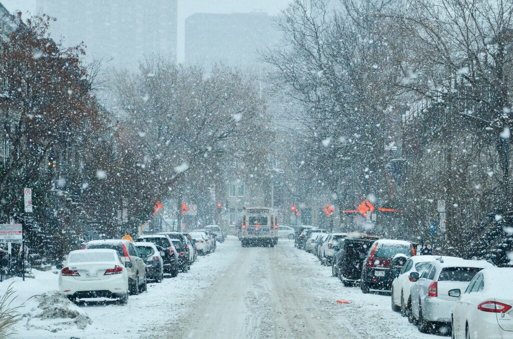
In an unusual twist for the end of June, a potent cold weather system swept through the Northern Rockies, delivering heavy, wet snow to high-elevation areas in central Idaho, southwest Montana, and parts of the Wyoming border region.
The storm forced temporary closures on popular summer travel routes, including the iconic Beartooth Highway, catching many drivers off guard during what is typically peak summer season.
National Weather Service offices in Missoula and Great Falls had issued Winter Storm Warnings for the affected areas.
These alerts expired on Monday, but not before the system dropped significant snowfall on mountain terrain above roughly 6,500 feet.
Accumulations ranged from 4 to 8 inches in many spots, with localized totals reaching up to 16 inches in the highest elevations of the Anaconda-Pintler Wilderness near Georgetown Lake. Other ranges, such as the Lemhi, Bitterroot, and Sapphire, saw similar moderate to heavy snow.
The Beartooth Highway (U.S. Highway 212), a renowned All-American Road that climbs to nearly 11,000 feet, was closed preemptively on Sunday afternoon due to the incoming snow and remained shut for much of Monday. Similarly, Dunraven Pass inside Yellowstone National Park closed for winter conditions.
Crews worked to clear and reopen routes as soon as conditions allowed, with potential reopening targeted for Tuesday.
Other passes experienced wintry conditions as well, including Lost Trail Pass, Chief Joseph Pass, Big Hole Pass, Lemhi Pass, and sections of Idaho 28.
Travelers were urged to check real-time road conditions via Montana 511, Idaho 511, and Yellowstone National Park resources before heading out, especially ahead of the busy July 4 holiday travel period.
The storm brought more than just snow. Valley temperatures in western Montana and central Idaho plummeted 20 to 30 degrees from the previous week’s warmth, with daytime highs falling into the 40s and 50s Fahrenheit.
Overnight frost was possible in some colder spots. Strong winds accompanied the system, with gusts up to 55 mph on exposed high passes and around 50 mph in lower areas like the Snake River Plain, creating challenging driving conditions for high-profile vehicles.
This late-season snow event highlights the volatility of mountain weather. Forecasters note a dramatic shift coming, with a building heat dome expected to bring scorching temperatures in the 90s and low 100s to much of the central and eastern U.S. from July 2 through at least July 6.
In the Northern Rockies region, conditions should moderate into the 80s and low 90s by the holiday weekend, making most passes drivable and dry for summer travelers—provided they confirm status before departing.
The event serves as a reminder that even in late June, high-elevation travel in the Rockies can quickly turn wintry. Stay informed, prepare accordingly, and enjoy the stunning landscapes safely.