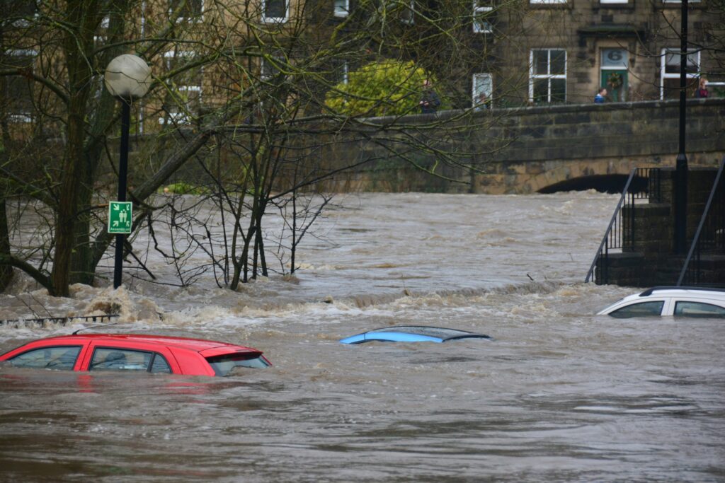
As the nation recovers from a sweltering Fourth of July weekend marked by record-high temperatures across many areas, attention has swiftly turned to the risk of widespread flooding. Communities that baked under intense heat just days ago now face a new set of challenges from incoming storms. Meteorologists are closely monitoring developing weather systems that could bring significant rainfall to key parts of the country this week.
Forecasters at the National Weather Service’s Weather Prediction Center have outlined expectations for multiple waves of storms delivering substantial precipitation.
These events are anticipated particularly across the Ohio Valley and Tennessee Valley regions, extending into the Appalachian Mountains. The outlook points to several inches of rain accumulating from Friday through Saturday, raising concerns about localized flooding.
The agency highlighted the situation in a public update, stating: “Rounds of storms Friday and Saturday ahead of a slow moving frontal boundary will bring locally heavy rainfall and scattered flash flooding potential to the Ohio and Tennessee Valleys, as well as the Appalachians.”
A broad corridor of states stands to experience these conditions between Friday and Saturday. The list includes Pennsylvania, West Virginia, Ohio, Indiana, Illinois, Missouri, Arkansas, Kentucky, Virginia, Tennessee, North Carolina, South Carolina, Georgia, Alabama, and Mississippi. However, experts indicate that Tennessee, Kentucky, and West Virginia may see the heaviest impacts from the excessive downpours.
Summer continues to stand out as one of the most hazardous periods for flooding throughout much of the United States. A combination of powerful thunderstorms, lingering tropical weather influences, and sluggish weather fronts often leads to sudden and extensive flash flooding events. Recent patterns observed over the past couple of years underscore how persistent and severe this threat has become in various locations.
Official records from NOAA reveal that 2025 brought notable flooding incidents in every season and across multiple regions. In July of that year alone, authorities issued 1,434 flash flood warnings, marking the second-highest total for the month in the last 40 years.
One tragic example involved the devastating floods in Central Texas, where numerous river gauges hit major flood levels amid one of the country’s most severe inland flooding events in recent memory.
These statistics emphasize the ongoing vulnerability many areas face during warmer months. Flash floods rank among the most lethal weather-related dangers in the nation, responsible for an average of nearly 90 deaths annually according to long-term data. Such events often catch residents off guard due to their rapid onset and destructive power.
Specialists point to several contributing factors that heighten the danger in current conditions. Ground already soaked from prior rains, combined with intense rates of precipitation and more unpredictable atmospheric behavior, can rapidly overwhelm rivers, streams, and city stormwater networks. This is especially true during the height of the summer season when storms tend to deliver concentrated bursts of water.
The unpredictable nature of these floods adds another layer of difficulty for both prediction and public safety efforts. Experts note that flash floods can form in a matter of minutes, leaving little time for preparation or evacuation in some cases. This characteristic makes them particularly challenging for emergency responders and residents alike to manage effectively.
The National Weather Service continues to emphasize that flash floods can develop within minutes, making them one of the nation’s most difficult natural hazards to predict and avoid.
Residents in the affected zones are urged to stay informed through local alerts and to take precautions as the weekend storms approach.