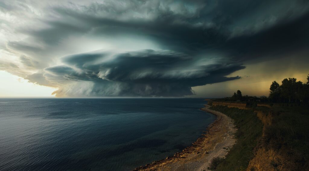
As the 2026 hurricane season progresses through its early months, forecasters are closely monitoring a notable contrast between the two major ocean basins that influence tropical weather in the Americas.
The Eastern Pacific appears poised for a surge in activity, even as the Atlantic basin continues to exhibit relatively quiet conditions with only faint hints of potential development on the horizon.
In the Pacific, conditions have recently favored the formation of the first tropical depression of the season, signaling that the region may soon see an uptick in organized storms.
Warm sea surface temperatures and favorable atmospheric patterns are aligning to support this increase, which could lead to more frequent tropical cyclones developing and potentially strengthening as they track westward or toward coastal areas. This awakening comes at a time when many residents along the western coasts of Mexico and Central America, as well as Hawaii, are preparing for what could become an active stretch.
Meteorologists point to broader climate influences, including the evolving state of the equatorial Pacific, as a key driver behind the expected Pacific surge. These large-scale patterns often suppress activity in one basin while enhancing it in the other, creating the kind of seesaw effect currently visible.
For the Pacific, this setup means communities should stay vigilant about heavy rainfall, strong winds, and possible flooding risks that often accompany even moderate tropical systems.
On the other side of the continent, the Atlantic has seen limited action so far in 2026. Only one named storm—Tropical Storm Arthur—has formed since the official start of the season on June 1, and it remained relatively weak without reaching hurricane status.
Forecasters from organizations like NOAA and Colorado State University have issued below-normal seasonal outlooks, citing factors such as lingering El Niño influences that tend to create wind shear and drier air unfavorable for storm development.
Despite the overall subdued outlook, there are early signals that things could pick up modestly. Some computer models are hinting at the possibility of a weak area of low pressure forming in the Gulf of Mexico in the coming days, potentially bringing heavy rains to parts of Florida and the southeastern United States even if it fails to develop into a named tropical storm.
Experts emphasize that it’s still too early to determine any specific track or intensity, and residents in vulnerable areas should continue monitoring updates from the National Hurricane Center.
This year’s Atlantic forecast calls for roughly 8 to 14 named storms overall, with only a few expected to reach hurricane strength. Such projections underscore the importance of year-round preparedness rather than relying on seasonal averages. A single powerful storm making landfall can still cause significant impacts, regardless of how busy the broader season turns out to be.
Looking ahead, the interplay between Pacific warmth and Atlantic restraint highlights the complex dynamics of tropical meteorology.
As July advances, the Pacific’s momentum could bring more systems to watch, while the Atlantic’s quiet period may offer a brief window for reflection and readiness before any potential late-summer shifts. Coastal communities and emergency managers alike would do well to review evacuation plans, stock supplies, and stay informed through reliable sources as the season unfolds.