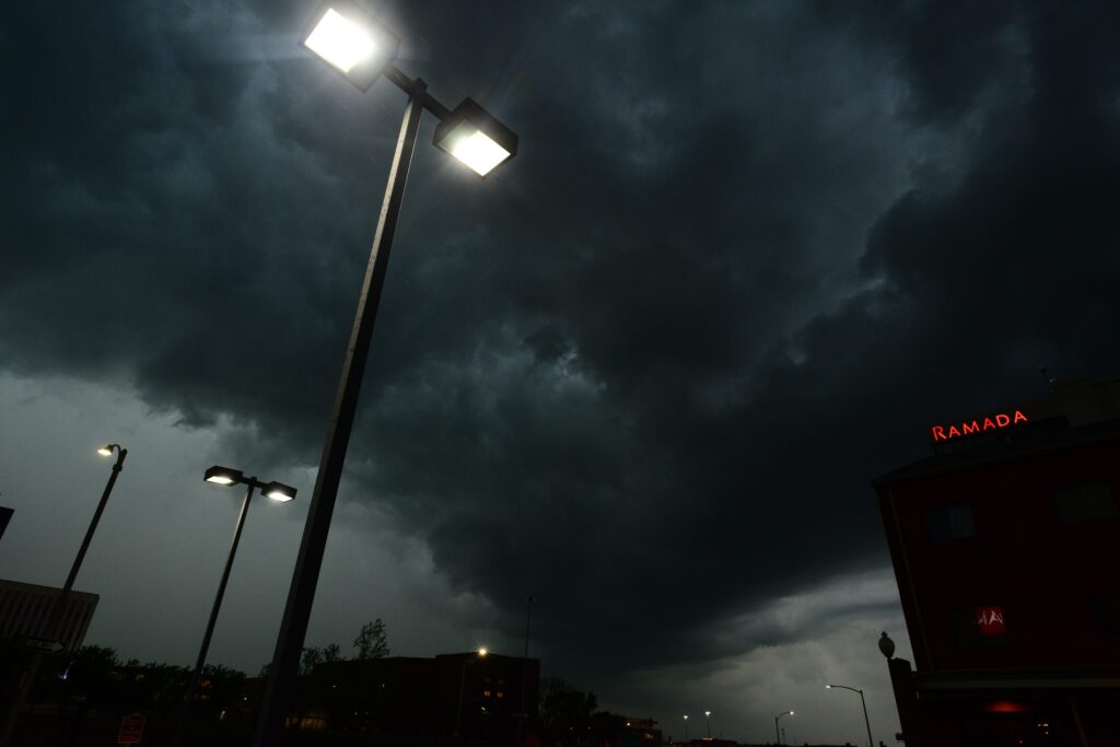
The National Weather Service activated severe thunderstorm warnings across portions of three states on Sunday afternoon, July 19, alerting residents to the potential for dangerous conditions. Forecasters highlighted the risk of powerful wind gusts reaching up to 60 miles per hour, along with intense lightning and thunder that could persist well into the evening hours.
These alerts underscore the unpredictable nature of summer storms and the importance of staying informed as weather patterns shift rapidly.
Officials emphasized that the storms could bring significant disruptions to daily life in the affected regions. With strong winds on the horizon, communities in the warned areas are being urged to prepare for possible interruptions in services and infrastructure. The warnings serve as a timely reminder that even routine summer weather can escalate quickly into hazardous events.
“Expect damage to trees and powerlines,” the warning states.
“Gusty winds are still possible with this thunderstorm and a special statement will replace the warning.”
The regions placed under active alerts include parts of South Carolina, North Carolina, and Virginia. Residents in these locations should monitor updates closely, as the storms move through the area. Local authorities continue to coordinate with the National Weather Service to ensure timely information reaches those who might be impacted.
Severe thunderstorm potential increases for Monday July 20th. Be sure to check your local weather by visiting https://t.co/VyWINDk3xP https://t.co/9WQLJN2oI7
— National Weather Service (@NWS) July 19, 2026
Looking ahead, forecasters anticipate that Monday could bring similar challenges, with as many as five states potentially facing severe weather impacts. This extended outlook highlights the broader pattern of instability affecting the eastern United States during this period. Preparation remains key as meteorologists track developing systems.
Safety guidelines issued alongside the warnings stress the value of proactive measures when heavy storms develop. Staying connected to reliable sources of information can make a critical difference in how individuals and families respond to evolving threats. Continuous monitoring helps ensure that people receive the latest details on watches and warnings.
When at home during a severe thunderstorm warning, it is essential to move to a secure interior space away from windows and exterior walls. This step protects against flying debris or structural damage from high winds. Families should also bring pets along if there is enough time, ensuring that no one is left exposed to the elements.
In workplaces or educational settings, individuals should avoid areas with large windows and steer clear of expansive open spaces such as dining halls, gyms, or assembly rooms. These locations can become particularly vulnerable during intense wind events or hail. Taking cover in more protected parts of the building reduces the risk of injury from broken glass or other hazards.
Those caught outdoors face some of the greatest dangers and should seek shelter inside a sturdy, enclosed structure without delay. Smaller outbuildings like sheds offer little protection and should be avoided entirely. Taking cover beneath trees is especially hazardous, as falling branches or trunks can cause serious harm, while the height of the tree also increases the chance of a lightning strike.
Vehicle safety during these storms provides better protection than remaining exposed outside, yet drivers should still exercise caution. If time permits, heading to the nearest reliable shelter is advisable. Pulling over in a safe location and waiting out the worst of the storm can prevent accidents related to reduced visibility or debris on roadways.
The combination of wind, thunder, and lightning creates multiple layers of risk that demand respect and careful planning. Even brief exposure to these elements can lead to unexpected consequences, particularly in rural or wooded areas where trees and power infrastructure are abundant. Public awareness campaigns continue to promote these basic protective actions.
Communities across the warned zones are encouraged to review their emergency plans and check that essential supplies are readily available. From flashlights to charged mobile devices, small preparations can ease the stress of power outages or communication disruptions. Local emergency management teams stand ready to assist as needed.
As the storms progress, staying vigilant will help minimize potential impacts and keep residents safe through the evening and into the following day.
The National Weather Service will continue issuing updates, ensuring that the public has access to the most current forecasts and guidance.