Travelers heading into the Northern Rockies this weekend may encounter an unexpected return of winter conditions, as a strong cold front ushers in heavy snow to high-elevation areas of Idaho and Montana right at the height of the summer season.
National Weather Service forecasters have issued alerts for several mountain zones, highlighting the potential for significant accumulations on key routes.
Just days after valley temperatures climbed into the 80s and even low 90s across central Idaho, a closed low-pressure system is set to bring much cooler air and precipitation to the region.
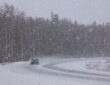
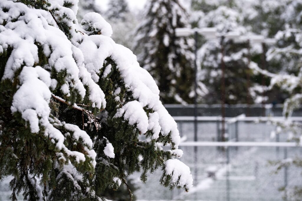
Snow levels are expected to drop dramatically, allowing heavy, wet snow to accumulate above roughly 6,500 feet from Saturday evening through Monday morning.
This pattern change will bring valley rains in lower areas, but the higher terrain—particularly along the Idaho-Montana border—could see wintry conditions return abruptly. Forecasters describe the high country as turning “decidedly winter-like,” with daytime highs plunging into the 50s and 60s in many spots
The heaviest snow is forecast for the Bitterroot and Sapphire ranges, as well as parts of Lemhi County in Idaho. Accumulations of 4 to 8 inches are possible in these zones, with locally higher amounts—potentially up to a foot or more—on the tallest peaks.
Other areas, including the Butte and Blackfoot regions and parts of the Gallatin, Madison, and Centennial mountains, may see 4 to 6 inches or greater in favorable spots.
The snow is expected to be dense and wet, which increases risks for power line damage, falling trees in backcountry areas, and slippery travel on mountain roads.
Overnight and early morning hours typically pose the greatest hazard, as temperatures drop and snow sticks more readily to pavement.
Several popular mountain passes and highways fall within the alerted zones:
- Idaho Highway 28 between Tendoy and Lone Pine, along with Lemhi Pass and Bannock Pass.
- US 93 over Lost Trail Pass.
- Approaches to West Yellowstone, including Targhee Pass on US 20 and Monida Pass on I-15.
- Roads near Georgetown Lake and in the Anaconda-Pintler mountains.
West Yellowstone serves as a major gateway to Yellowstone National Park during peak summer visitation. Drivers who recently enjoyed warm weather could face slushy roads, reduced visibility, and temperatures hovering in the 30s and 40s near the park entrances. Elevation plays a critical role: passes topping 7,000 feet, such as Lemhi Pass (over 7,300 feet), are especially vulnerable.
While low-elevation communities like Salmon should primarily see rain, mountain weather can shift rapidly. The combination of summer traffic and sudden winter hazards makes preparation essential.
This event serves as a reminder of the variable climate in the Rockies, where snow remains possible at higher elevations year-round.
As the cold front moves through, conditions should gradually improve early next week, but travelers are advised to stay informed through official weather and transportation sources. Safe travels!