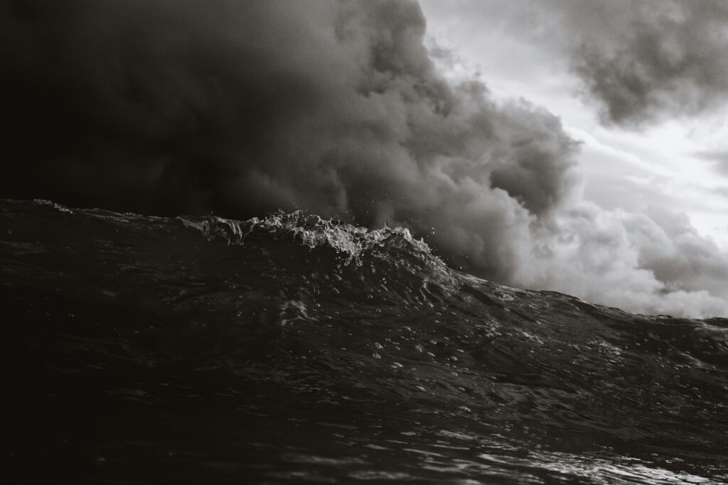
Super Typhoon Bavi, one of the most powerful storms to strike the region in recent memory, has finally begun pulling away from Guam and the Northern Mariana Islands after unleashing devastating winds and torrential rains.
The massive system, which reached Category 5 intensity as it raked across the islands, left behind widespread damage and is now on a path that could bring significant impacts to parts of East Asia later in the week.
Early on Monday, the typhoon passed directly over Rota, located about 60 miles northeast of Guam, packing sustained winds estimated near 180 mph in its eyewall. Reports from the ground describe extensive destruction across the islands, with particularly severe effects on Rota.
Gusts reached 106 mph at Saipan International Airport and 100 mph at Guam’s main airport, while rainfall totals climbed dramatically—one station on Guam recorded more than 12 inches in a single day, setting a new daily record. Many areas across Guam and the Marianas saw between 12 and 18 inches of rain, raising concerns about ongoing flooding even as the storm moves out.
As Bavi drifts farther northwest, local conditions are expected to gradually improve. However, residents are urged to remain vigilant for flash flooding and any lingering hazards from the heavy downpours that have already saturated the ground.
Currently positioned roughly 100 miles northwest of Guam, the storm continues to move west-northwest at a steady pace of 10 to 15 miles per hour. It remains a formidable super typhoon, with maximum sustained winds hovering around 165 mph. Bavi formed as a tropical storm earlier in the week before rapidly intensifying into a typhoon and then achieving super typhoon status within days.
Looking ahead, forecasters anticipate that Bavi will gradually curve more toward the northwest by midweek. This track suggests the system could brush near the Sakishima Islands in far southwestern Japan around Friday before approaching Taiwan on Saturday.
From there, it may push into eastern China, potentially affecting areas near Shanghai later that day or into Saturday night. While the storm is expected to lose some of its peak intensity due to increasing wind shear and passage over cooler ocean waters, it could actually expand in overall size. This means that even as its core winds diminish, a broader swath of Taiwan and eastern China could still face tropical storm-force gusts and heavy rain.
The western Pacific is the most active basin for tropical cyclones on the planet, routinely producing far more storms than the Atlantic. Guam and the Northern Marianas typically experience six to seven tropical systems each year, with the peak season running from June through December.
This event marks another reminder of the region’s vulnerability, coming just months after another powerful typhoon affected the same islands earlier in 2026. Residents and officials in Taiwan and eastern China are being encouraged to closely monitor the latest forecasts and prepare accordingly as the system evolves.
As Bavi continues its journey, the focus shifts from immediate recovery efforts in the Marianas to proactive preparations farther west.
The storm serves as a stark illustration of how quickly these powerful systems can develop and move across vast ocean distances, underscoring the importance of timely warnings and community readiness in typhoon-prone areas.