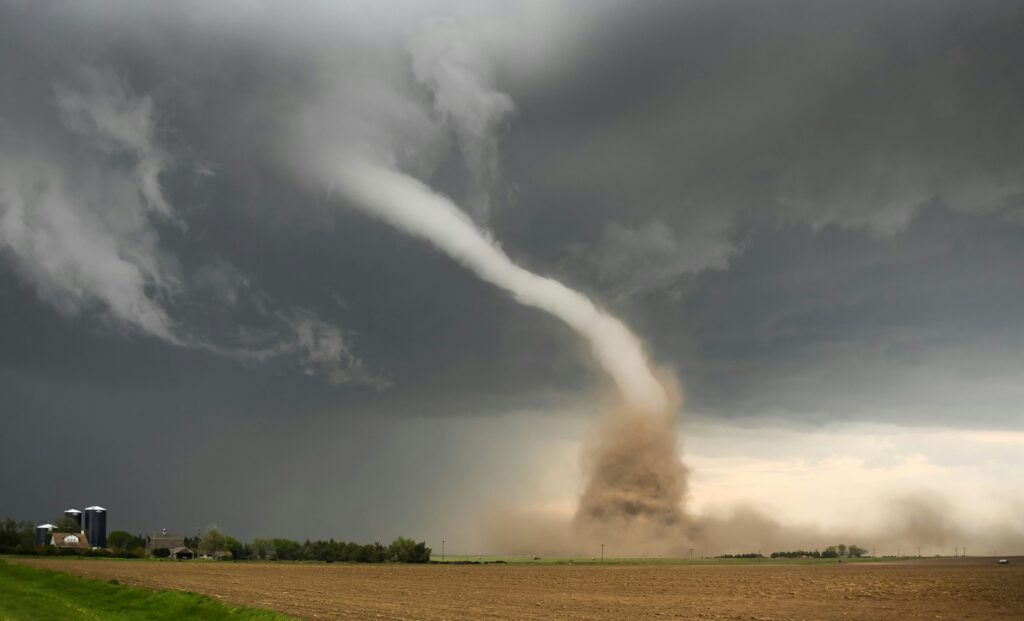
The National Weather Service has upgraded the severe weather risk for Kansas City and surrounding regions in eastern Kansas and Missouri to a slight risk level.
Storms are expected to develop Friday afternoon and evening, with damaging winds and heavy rainfall as the main concerns, though hail and isolated tornadoes remain possible.
Overnight storms could also train over the same spots, raising the chance of localized flooding.
Forecasters note some uncertainty around exact timing and strength, depending on how quickly the atmosphere recovers from morning activity.
Residents should stay alert with multiple ways to monitor updates.
Kansas City experiences tornadoes with notable regularity due to the region’s volatile spring and early summer weather patterns.
On average, the broader Kansas City metropolitan area sees around four tornadoes per year, though this number can fluctuate significantly from one season to the next, with some years recording far more due to active storm systems.
While the states as a whole report dozens annually—Kansas often exceeding 80 and Missouri around 40—the metro region itself encounters a smaller but still meaningful share, predominantly weaker EF0 and EF1 events that cause limited damage.
Tornado activity peaks between April and June when warm, moist air from the Gulf of Mexico clashes with cooler, drier air from the west, creating the supercell thunderstorms responsible for most twisters.
Residents benefit from advanced warning systems and community preparedness, which help mitigate risks even as occasional stronger storms remind everyone of the area’s vulnerability to severe weather.
There are over two million residents in Kansas City and even more in surrounding areas, so if a tornado ultimately does develop, this could be a very dangerous situation.
Hopefully, the storm dissipates and nothing too severe materializes.