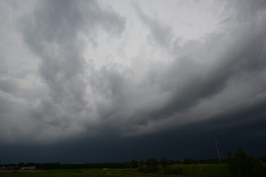
Severe thunderstorms are poised to sweep across parts of the northern United States today, bringing a heightened risk of hazardous weather conditions to residents in multiple states. Forecasters have highlighted the potential for powerful storms that could produce intense lightning displays, torrential downpours, strong gusts, and sizable hailstones.
Such events often lead to sudden disruptions, including localized flooding and damage to property, underscoring the need for heightened vigilance among those in the affected regions.
The National Weather Service has issued alerts covering a broad swath of the northern Plains and surrounding areas. Authorities emphasize that these storms may develop rapidly, requiring individuals to monitor updates closely throughout the day. With conditions favorable for severe activity, experts advise preparation to minimize exposure to the most dangerous elements, such as damaging winds that can topple trees or large hail capable of shattering windows and denting vehicles.
At least six states face the possibility of significant impacts from this weather system on Tuesday, July 7. The regions include North Dakota, South Dakota, Nebraska, Montana, Wyoming, and Minnesota. Each of these areas could experience varying degrees of storm intensity, from isolated heavy showers to more organized lines of thunderstorms that pose a broader threat.
In many cases, the storms are expected to feature a combination of heavy rainfall and powerful wind shear, which can exacerbate conditions on the ground. Large hail remains a particular concern in open prairie landscapes common to these states, where agricultural operations and outdoor activities may be especially vulnerable.
Residents are encouraged to review their emergency plans early to ensure they can respond effectively if warnings escalate.
As conditions evolve, staying informed represents the first line of defense against potential dangers. “Stay Weather Ready: Continue to listen to local news or a NOAA Weather Radio to stay updated about severe thunderstorm watches and warnings,” officials remind the public. This ongoing awareness helps families and communities make timely decisions about seeking shelter or securing outdoor belongings.
For those at home when alerts sound, immediate action can prevent injury or worse. “At Your House: Go to your secure location if you hear a severe thunderstorm warning. Damaging wind or large hail may be approaching. Take your pets with you if time allows,” the guidance continues. Basements, interior rooms on lower levels, or sturdy closets often provide the best protection from flying debris and structural failures.
Workplaces and educational institutions require special considerations during these events. “At Your Workplace or School: Stay away from windows if you are in a severe thunderstorm warning and damaging wind or large hail is approaching. Do not go to large open rooms such as cafeterias, gymnasiums or auditoriums,” authorities stress. Avoiding expansive interior spaces reduces the risk associated with collapsing ceilings or broken glass propelled by high winds.
Individuals caught outdoors face some of the greatest perils and must prioritize finding proper cover without delay. “Outside: Go inside a sturdy building immediately if severe thunderstorms are approaching. Sheds and storage facilities are not safe. Taking shelter under a tree can be deadly. The tree may fall on you. Standing under a tree also put you at a greater risk of getting struck by lightning,” the safety instructions warn. Open fields or wooded areas offer little real security once thunder begins to rumble.
Travelers in vehicles should treat the situation with caution but recognize that enclosed automobiles generally provide better protection than being fully exposed. “In a Vehicle: Being in a vehicle during severe thunderstorms is safer than being outside; however, drive to closest secure shelter if there is sufficient time,” the recommendations note. Pulling over in a safe location away from tall objects or low-lying flood-prone spots can further enhance safety.
Overall, this weather pattern serves as a timely reminder of nature’s unpredictability in the region. By heeding official forecasts and following established safety protocols, communities across the northern Plains can navigate the day with reduced risk. Continued monitoring throughout the afternoon and evening will remain essential as the storm system progresses, potentially shifting its focus or intensifying in unexpected ways.
Preparation and calm decision-making stand as the most effective tools for weathering whatever unfolds.