Residents across the Canadian Prairies should prepare for a fresh wave of intense thunderstorms on Saturday, following a night of persistent severe weather alerts.
After nearly eight hours of active warnings on Friday evening, meteorologists are warning that conditions could once again turn dangerous, with the possibility of large hail, damaging winds, and even isolated tornadoes.
A lingering weather boundary combined with a surface low-pressure system is setting the stage for renewed instability.
Throughout the day, atmospheric conditions—including ample moisture, rising instability, and increasing wind shear—will favor the development of powerful storms capable of rapid intensification. These factors often allow ordinary thunderstorms to evolve into more organized systems, sometimes producing supercells with significant hazards.
The severe weather threat is expected to span a broad area covering much of Alberta and Saskatchewan. Storms are forecast to begin firing up in the early afternoon, around 1 p.m. local time, with isolated supercells likely in central regions.
As evening approaches, clusters of storms could develop and track northeastward, extending their influence into parts of central Manitoba and potentially lingering through the overnight hours.
Primary concerns include hailstones reaching four centimetres or larger in diameter, which can cause serious damage to vehicles, roofs, and crops. Strong wind gusts approaching 100 km/h also pose risks, capable of downing trees or loose objects.
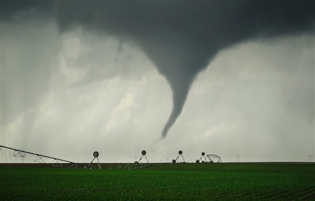
While tornado activity remains uncertain, the environment supports the chance of one or two isolated twisters, particularly in areas with enhanced rotation potential. The greatest tornado risk appears focused east-southeast of Edmonton and northwest of Saskatoon, including regions around Lloydminster and Prince Albert, where thunderstorm energy and lifting mechanisms align more favorably.
Increased wind shear lifting northward from the Alberta-Saskatchewan border will further boost the potential for rotating storms in these northern zones. However, southern parts of the Prairies may largely escape the worst impacts due to a strong atmospheric cap that could suppress storm development there.
This pattern is influenced by a building heat dome over the United States, which is beginning to extend its effects northward.
While this ridge will bring scorching temperatures to southern areas—pushing highs into the mid-30s Celsius with humidex values reaching the 40s—it will also steer the main storm track farther north across Alberta, Saskatchewan, and even toward the Northwest Territories.
Anyone with outdoor plans is strongly encouraged to monitor local weather updates closely. Severe weather watches and warnings can evolve quickly, and staying informed remains one of the best ways to stay safe during these volatile summer conditions.
Forecasters will continue tracking developments as the situation unfolds across the region.