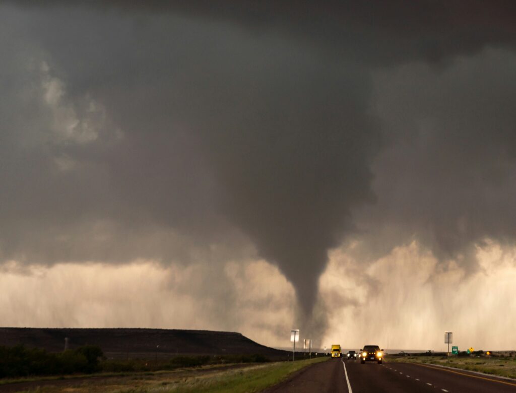
A highly unusual severe weather event is set to unfold across parts of northern New England and New York’s North Country on Tuesday, bringing the potential for powerful thunderstorms that could spawn tornadoes and deliver winds strong enough to rival a hurricane.
Meteorologists are closely monitoring the situation, as this kind of intense activity is uncommon in a region more accustomed to milder summer storms.
The threat comes as a stubborn heat dome continues to bake much of the Northeast, pushing temperatures into the upper 90s in many locations. Cities such as Plattsburgh and Syracuse in New York are flirting with near-record highs amid the sweltering conditions.
This hot, humid air mass is about to clash with a potent storm system dropping down from Canada, setting the stage for explosive thunderstorm development starting in the afternoon.
Forecasters from NOAA’s Storm Prediction Center have highlighted a Level 3 out of 5 risk for severe thunderstorms—the highest category in the affected zone—which encompasses communities including Presque Isle and Jackman in Maine, Berlin in New Hampshire, Burlington in Vermont, and Plattsburgh in New York.
In these areas, the strongest storms could produce EF-2 tornadoes, wind gusts reaching 75 mph, and hail as large as eggs. A slightly lower but still significant Level 2 risk extends southward, covering places like Bangor and Augusta in Maine.
Nearly two million residents across the region could find themselves in the path of these storms. Drivers along major routes such as Interstates 95, 93, 91, and 87 are being urged to remain vigilant, especially as the afternoon progresses.
Timing will play a critical role: if the system arrives later in the day as currently projected, the loss of peak daytime heating might temper some of the severe potential. However, an earlier arrival during the height of afternoon warmth could dramatically increase both the coverage and intensity of the storms.
Thunderstorms are expected to persist well into the evening and overnight hours. The area’s dense forests and extensive network of overhead power lines heighten the vulnerability to widespread damage. High winds could easily topple trees, leading to significant power outages and hazardous travel conditions even after the rain subsides.
This setup serves as a reminder of how dynamic summer weather patterns can become when extreme heat meets incoming disturbances.
Residents in the impacted zones should stay informed through local alerts, prepare emergency supplies, and have a safety plan in place—particularly those in mobile or outdoor structures.
While severe weather of this magnitude remains relatively rare here, taking precautions today could make all the difference. Updates will continue as the system evolves.