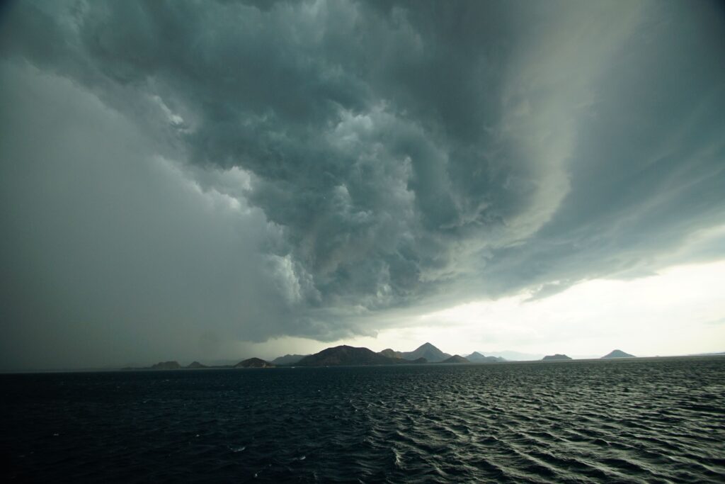
As of Sunday evening, a tropical depression has been lingering in the Gulf of Mexico, positioned about 190 miles south-southeast of Panama City, Florida. With maximum sustained winds holding steady at around 30 mph, the system remains nearly stationary for the time being, but the National Hurricane Center expects it to start drifting toward the northern Gulf Coast over the coming days.
Forecasters report that gradual strengthening is on the horizon. The depression is likely to organize into a tropical storm by Monday, bringing with it the potential for more organized impacts across the region.
While it’s still early in its development, residents along the Gulf shores from Florida to parts of Texas should pay close attention to the latest updates.
A Tropical Storm Watch is currently in effect from the Ochlockonee River to the Florida-Alabama border. This means that conditions associated with a tropical storm—such as sustained winds between 39 and 73 mph—could arrive in the watch area within the next day or two. Officials note that additional watches or warnings may be needed soon as the system progresses.
One of the primary concerns is the storm surge. The combination of rising water from the system and normal tidal action could lead to flooding in low-lying coastal areas.
In the zone from Indian Pass to Chassahowitzka, Florida, surge levels of one to three feet above ground are possible if the peak arrives near high tide. The most significant inundation would occur right along the immediate shoreline, though the exact flooding can vary depending on local timing and geography.
Heavy rainfall is another big factor. The depression is forecast to bring 2 to 4 inches of rain across a broad swath of the Gulf Coast and nearby inland areas, stretching from western Florida all the way to the middle Texas coast.
This includes southern Alabama, Mississippi, and Louisiana. Some spots could see isolated totals as high as 8 inches through the middle of the week, raising the risk of flash flooding—particularly in cities and towns where drainage systems might struggle.
On top of that, swells generated by the system are already churning up the waters along Florida’s Gulf Coast and are expected to push westward. These conditions could create dangerous surf and strong rip currents that pose a threat to swimmers and beachgoers throughout the week.
While the system is still in its early stages and hasn’t reached full tropical storm strength yet, the slow movement means its effects could linger.
Coastal communities are wise to review their preparedness plans, secure loose outdoor items, and stay informed through official channels like the National Hurricane Center.
The situation remains fluid, so checking back for updates in the days ahead will be important for anyone living or traveling in the affected regions.