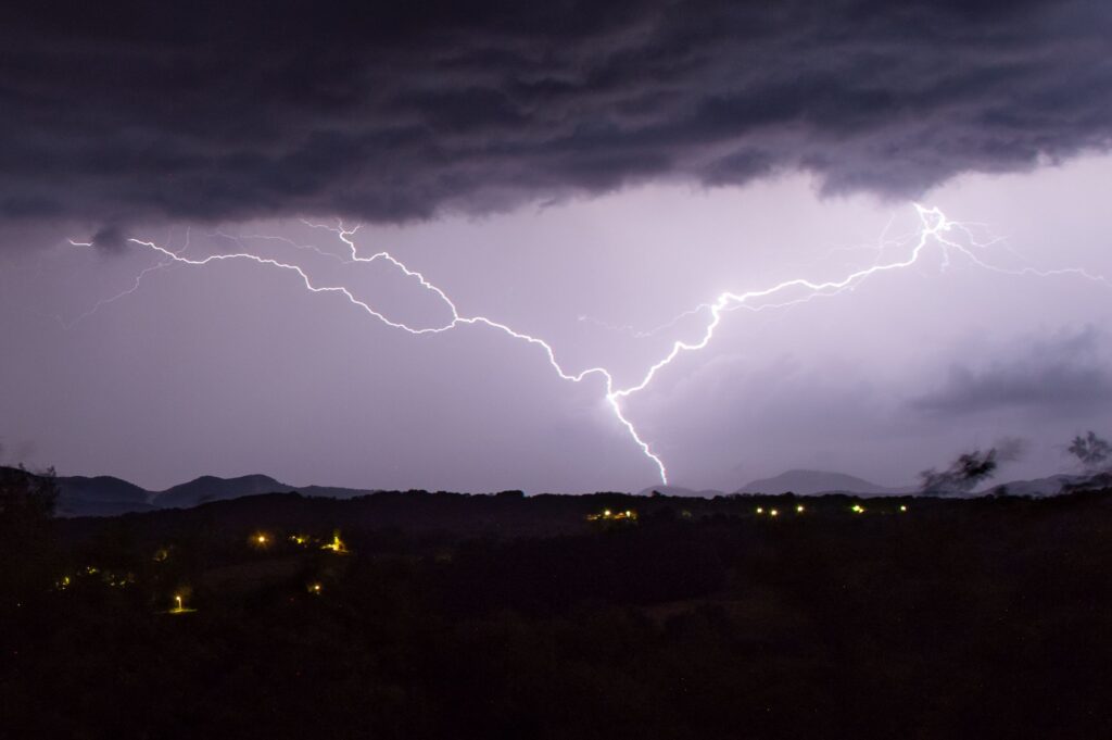
An intense shift in weather patterns is heading toward southern Indiana, bringing a significant threat of severe storms that has prompted meteorologists to issue a Weather Impact Alert Day for Tuesday evening.
Following a grueling stretch of intense heat and crushing humidity, where temperatures regularly soared into the lower nineties and heat indices threatened the triple digits, a powerful cold front is moving into the region.
While this front promises much-needed relief and cooler, more comfortable conditions by mid-week, its arrival will likely trigger a volatile atmospheric reaction.
The Storm Prediction Center has already placed the majority of southern Indiana under a level two out of five slight risk for severe weather.
Because the region will spend most of Tuesday baking in extreme heat and moisture, the atmosphere will possess an immense amount of instability by the late afternoon.
This high energy, combined with medium levels of wind shear, means the incoming front will find an environment highly primed for volatile storm development. Forecasters note that the presence of this wind shear could easily cause storms to rotate, elevating the danger level across the region.
Residents across southern Indiana need to prepare for a wide range of severe threats, as all modes of severe weather are on the table.
The primary concerns during this event will be damaging straight-line winds and large, destructive hail. However, given the rotating nature of the atmosphere ahead of the front, localized tornadoes cannot be ruled out.
The timing of the front puts the highest risk for severe weather between five and ten in the evening, meaning much of the dangerous activity will unfold as the sun goes down and darkness sets in.
Because this is a nighttime weather event, standard safety precautions are amplified. Weather experts strongly advise southern Indiana residents to cancel any outdoor activities planned for Tuesday evening and remain indoors.
Additionally, it is critical for households to have at least two independent ways of receiving emergency weather alerts, ensuring that at least one method is loud enough to wake individuals up if a sudden warning is issued after they have gone to bed.
By preparing ahead of time and staying tuned to local radar updates, residents can safely navigate this volatile transition into cooler weather.