As the Atlantic hurricane season continues its unusually subdued start, a new weather phenomenon is set to capture attention along the Southeast coast.
A plume of dust originating from the Sahara Desert is forecast to drift toward parts of Florida and coastal Georgia later this week, promising a mix of atmospheric effects that residents should prepare for.
According to local meteorologists, the dust is likely to arrive around Thursday and persist into Friday. This airborne particles can create hazy conditions during the daytime, slightly reducing visibility and dimming sunlight.
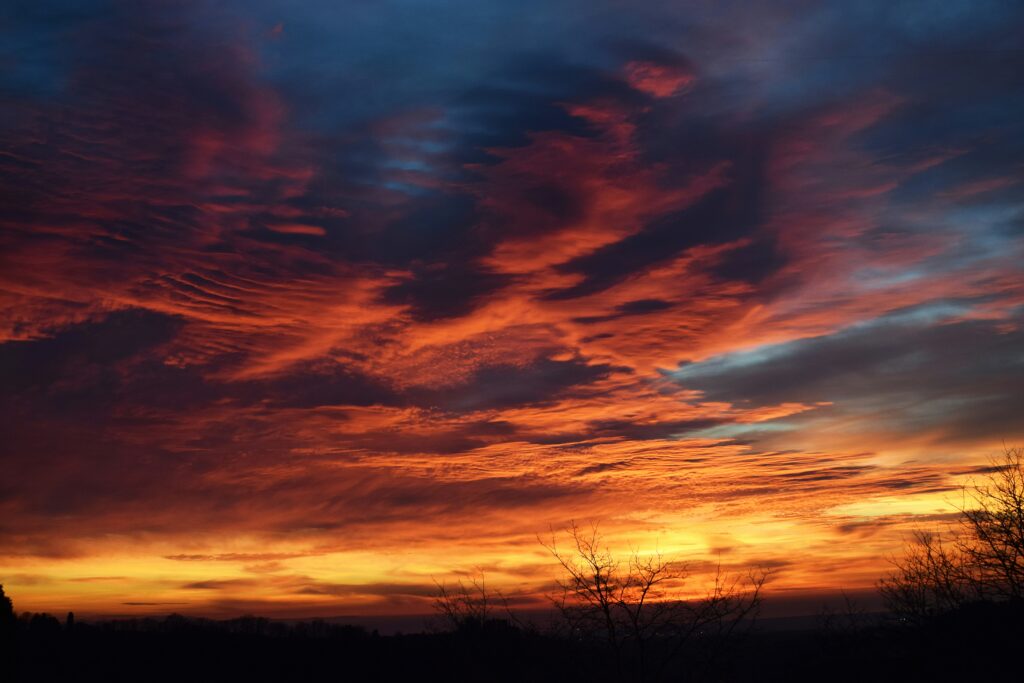
Many people, however, will notice the most striking changes at dawn and dusk, when the dust scatters light to produce brilliant orange and reddish hues in the sky.
Chief Meteorologist Jeremy Nelson of WJCL in Savannah highlighted the visual appeal while noting practical impacts. He explained that when the dust moves overhead, it often leads to those memorable colorful sunrises and sunsets, alongside a general haziness in the air. There are also potential concerns for air quality, which could affect those with respiratory sensitivities.
Beyond its immediate effects on the local atmosphere, Saharan dust plays a broader role in tropical weather patterns. It transports very dry and stable air from Africa across the Atlantic, which can suppress thunderstorm activity and make it more difficult for developing tropical systems to organize and strengthen. This natural occurrence frequently contributes to quieter periods during the hurricane season.
The current Atlantic season has indeed been remarkably calm. Only one named storm, Arthur, has formed so far, marking the quietest beginning in seven years.
Meteorologist Eric Burris of WESH in Orlando pointed out that while this slow pace stands out, it is not unprecedented. Since 2000, roughly one-third of hurricane seasons have seen a similar limited number of named storms by early July.
Forecast models are currently signaling only modest possibilities for development in the coming days or weeks, potentially near the Southeast coast or in the north-central Gulf of Mexico. However, both Nelson and Burris emphasized that any systems appear weak and broad at best, with most guidance keeping them away from land. For the time being, there is little of immediate concern on the horizon.
Even so, experts caution against complacency. A slow start does not guarantee a safe season. As Nelson noted, it only takes a single storm making landfall nearby to turn an otherwise quiet year into a challenging one for a community, regardless of larger climate patterns like El Niño that might suppress overall activity.
Burris echoed this sentiment, pointing toward the second half of August as the period when conditions typically become more favorable for tropical development.
In the meantime, the calm outlook offers some relief for summer travelers and families planning coastal vacations or cruises. Current satellite imagery shows generally favorable ocean conditions, aside from the temporary haze introduced by the incoming dust. The next name on the Atlantic storm list is Bertha, ready should activity pick up.
This blend of Saharan dust and a quiet tropical season serves as a timely reminder of the complex interplay between distant desert winds and local weather. While the dust may paint the skies in dramatic colors, it also underscores the importance of staying prepared as the heart of hurricane season approaches.