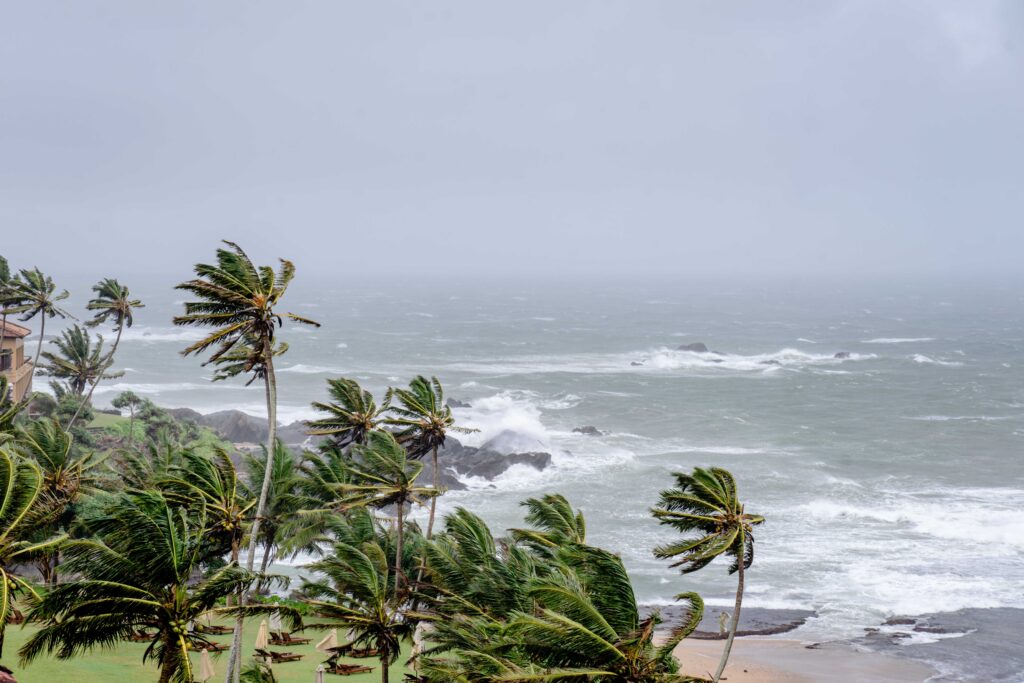
As Hurricane Fausto churns across the eastern Pacific, residents of Hawaii are keeping a watchful eye on the system even though forecasters emphasize it will remain hundreds of miles away from the islands.
The storm, currently a Category 1 hurricane with sustained winds around 75 mph, is forecast to regain strength in the coming days while tracking generally west-northwest. Yet its distance ensures that direct impacts like high winds or coastal flooding will not reach the Hawaiian chain.
Instead, the primary concerns for the islands revolve around subtler shifts in weather patterns. Meteorologists with the National Weather Service in Honolulu note that Fausto could begin to influence local conditions early to mid-next week as it approaches the Central Pacific and starts to weaken.
Specifically, the hurricane’s presence may temporarily disrupt the typical trade wind flow, potentially leading to lighter winds or altered directions as the system passes well to the northeast of the state.
In the nearer term, Hawaii is already experiencing the tail end of a moist air mass that has brought increased shower activity across the islands.
Forecasters anticipate the greatest coverage of these showers today, with some periods of heavier rain that could cause minor ponding on roads and localized flooding in low-lying areas.
Conditions are expected to gradually dry out starting Wednesday, accompanied by strengthening trade winds that should return the islands to a more typical, stable pattern by Thursday.
This limited influence stands in welcome contrast to more direct hurricane threats that Hawaii has faced in the past.
No coastal watches or warnings are currently in effect, and models consistently keep Fausto far east of the islands before it encounters cooler waters and drier air that will sap its energy. For islanders, this means vigilance for routine summer weather disruptions rather than emergency preparations for a major storm.
Hawaii’s tropical location makes it no stranger to distant Pacific systems occasionally stirring up clouds and precipitation, even when the core of the storm stays remote.
Officials continue to monitor the forecast closely, but the current outlook suggests Fausto will primarily serve as a reminder of the broader hurricane season dynamics without delivering the kind of punch that closer storms have historically brought.
Residents are advised to stay informed through official channels while going about their daily routines, mindful of the potential for brief wetter spells in the days ahead.