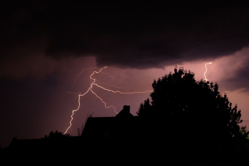
Residents across Wisconsin are being urged to prepare for potentially severe weather on Monday, July 20, as a strong storm system moves into the region. The National Weather Service has placed the state on alert alongside four others, highlighting the risk of damaging winds, possible tornadoes, large hail, and heavy rainfall that could disrupt daily life and create hazardous conditions throughout the day.
This incoming thunderstorm system carries significant threats for much of the Upper Midwest and Great Lakes area. Forecasters indicate that the storms could develop rapidly, bringing gusty winds capable of downing trees and power lines, along with hailstones large enough to damage vehicles and property.
While the exact timing and intensity may shift, communities in Wisconsin are taking the warnings seriously given the state’s vulnerability to summer severe weather events.
The states included in the alert are Minnesota, Iowa, Wisconsin, Illinois, and Michigan. For Wisconsin specifically, the risks feel particularly close to home, as many areas in the southern and central parts of the state often see the strongest impacts from such systems moving eastward from the Plains. Local emergency managers are encouraging everyone to review their severe weather plans now rather than waiting until the first signs of trouble appear.
Severe thunderstorm potential increases for Monday July 20th. Be sure to check your local weather by visiting https://t.co/VyWINDk3xP https://t.co/9WQLJN2oI7
— National Weather Service (@NWS) July 19, 2026
Meteorologists emphasize that these storms may produce isolated tornadoes in addition to widespread wind damage. Even a single tornado touchdown can cause considerable disruption in rural and suburban neighborhoods common across Wisconsin. Large hail remains another primary concern, especially for farmers with crops nearing harvest and for drivers on highways where visibility and road conditions can deteriorate quickly.
As the system advances, officials remind the public that staying informed is the first line of defense. Continue monitoring updates from trusted local news sources or NOAA Weather Radio for the latest on severe thunderstorm watches and warnings. Conditions can evolve rapidly, so regular checks throughout the day on Monday will be essential for timely decision-making.
When severe weather strikes close to home, knowing where to take shelter can make all the difference.
At your house, move to a secure interior location—such as a basement or small interior room on the lowest level—if a severe thunderstorm warning is issued. Damaging winds or large hail may arrive with little notice, and bringing pets along if time permits helps ensure their safety too.
In workplaces or schools across Wisconsin, the guidance is equally important. Avoid standing near windows when warnings are active and damaging winds or hail approach. Large open spaces like cafeterias, gymnasiums, or auditoriums should be avoided, as they offer less protection from flying debris and structural stress during high winds.
Those caught outside must act decisively. Seek shelter inside a sturdy building right away when severe thunderstorms near. Smaller structures like sheds or storage buildings do not provide adequate protection and should not be used. Taking cover under a tree is especially dangerous, as the tree could fall or increase the chance of a lightning strike.
For individuals in vehicles, being inside a car or truck offers better protection than remaining exposed outdoors. However, if time allows, drive to the nearest secure shelter. Avoid trying to outrun the storm, and never leave the vehicle to seek shelter under trees or other makeshift options during active severe weather.
Wisconsin’s diverse landscape—from the rolling hills in the southwest to the forests of the north—means impacts could vary widely. Urban centers like Milwaukee and Madison may face flooding risks from heavy downpours, while rural communities could deal with power outages lasting hours or days after strong winds pass through. Utility companies are already positioning crews in anticipation of widespread disruptions.
Preparation extends beyond immediate safety. Residents should charge mobile devices, have flashlights and batteries ready, and secure loose outdoor items that could become projectiles in high winds. Families with children or elderly members may want to discuss plans in advance so everyone understands where to gather if warnings sound during work or school hours.
The arrival of this storm system serves as a timely reminder of how quickly summer weather can turn dangerous in the Midwest. While many Wisconsinites enjoy the warmer months, events like this underscore the need for year-round readiness when it comes to severe thunderstorms. Staying calm, informed, and proactive remains the best approach as the system moves through the region on Monday.
Local officials continue to monitor the situation closely and will provide updates as needed. By heeding the National Weather Service alerts and following proven safety steps, communities across Wisconsin can minimize risks and emerge from the storm with minimal impact.
As always, the priority is protecting lives and property during this active weather period.