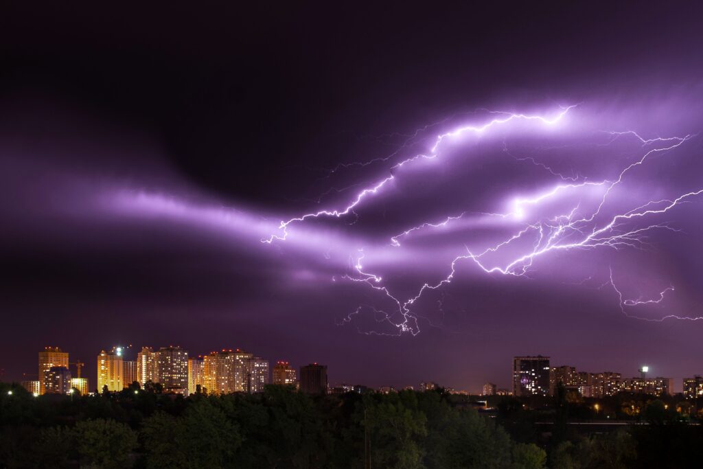
Several regions in the United States are preparing for potentially destructive weather conditions this Tuesday evening, with strong wind gusts and repeated lightning strikes posing immediate risks.
Earlier today, the National Weather Service activated a severe thunderstorm watch covering portions of Kentucky, Tennessee, Virginia, and West Virginia. Residents in these zones have been alerted to the possibility of wind speeds reaching up to 70 miles per hour, along with scattered hail and isolated tornado activity.
A line of scattered but powerful thunderstorms currently positioned over Kentucky is forecast to drift southward into the designated watch zone throughout the evening hours. While damaging winds represent the primary threat, forecasters note that hail and a couple of tornadoes cannot be ruled out.
“A line of scattered intense thunderstorms over Kentucky will sag southward into the watch area through the evening. Damaging winds are the main concern, but hail and a tornado or two are also possible,” the National Weather Service said.
“The severe thunderstorm watch area is approximately along and 40 statute miles north and south of a line from Dyersburg TN to 110 miles east of Jackson KY.”
5:12pm CDT #SPC_Watch WW 510 SEVERE TSTM KY TN VA WV 212210Z – 220500Z, #kywx #tnwx #vawx #wvwx, https://t.co/4nRouY4Utv pic.twitter.com/0zeGnYS0Cq
— NWS Storm Prediction Center (@NWSSPC) July 21, 2026
This weather alert will remain active until midnight Central Time, giving communities a limited window to secure their surroundings and review emergency plans.
Meteorologists emphasize that these storms could bring sudden and intense impacts, making timely preparation essential for public safety. Areas along the specified corridor face the highest probability of encountering hazardous conditions as the system advances.
Officials urge everyone in the affected territories to monitor updates closely through reliable local channels or dedicated weather radio broadcasts. Staying informed allows residents to react quickly if conditions escalate from a watch to a warning.
When a severe thunderstorm warning is announced, individuals should move without delay to a reinforced indoor space. This includes bringing household pets along if there is adequate time, ensuring the entire family unit reaches safety together.
Windows and glass surfaces should be avoided during active warnings, as flying debris from high winds or falling hail can shatter them easily. Large, open interior spaces such as school cafeterias, gymnasiums, or auditoriums also present increased danger and should not be used for shelter.
Instead of remaining outdoors or in fragile structures, people must enter a solid, well-constructed building immediately when storms draw near. Smaller outbuildings like sheds or storage units offer little protection and can become hazardous in strong winds. Seeking cover beneath trees is particularly dangerous, since they may topple or conduct lightning strikes directly to anyone standing nearby.
Vehicles provide better protection than open areas during severe thunderstorms, yet drivers should still head toward the nearest sturdy shelter whenever possible. This approach balances mobility with security while the storm system passes through the region.
By following these precautionary steps, communities can significantly reduce their exposure to the risks associated with high winds, hail, and lightning. The National Weather Service continues to track the developing situation and will issue further updates as needed.
Residents are encouraged to remain vigilant until the watch expires and all threats have moved beyond their local area.