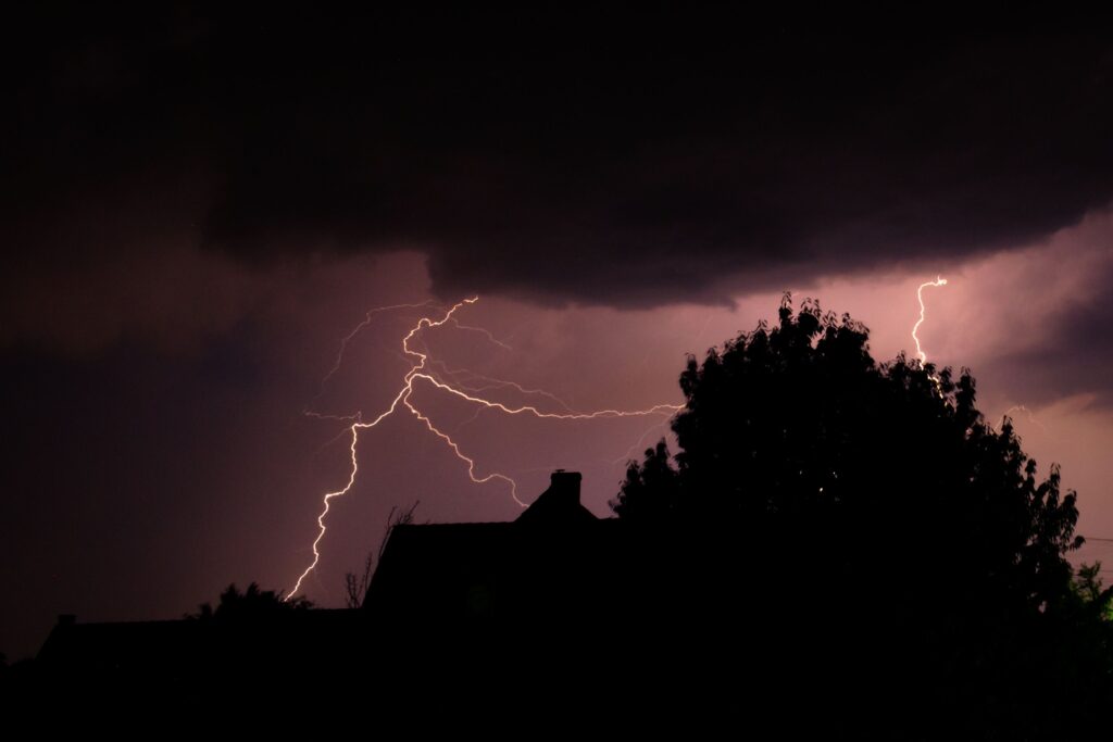
Residents across the New York City metropolitan area and the broader tri-state region should prepare for a notably active weather day on Saturday, as a powerful storm system moves through the Northeast.
Forecasters warn that the combination of atmospheric conditions could produce strong to severe thunderstorms capable of delivering multiple hazards, including a heightened potential for tornadoes.
While the incoming rains and gusts carry a silver lining—helping to disperse the lingering Canadian wildfire smoke that has been affecting air quality in recent days—the primary focus remains on the risks posed by the storms themselves.
These thunderstorms are expected to develop from late morning and persist through the afternoon and evening hours, impacting a wide swath of the Northeast. According to the National Weather Service, much of the tri-state area sits under an enhanced severe weather risk level, rated 3 out of 5.
This designation points to a significant chance of damaging winds as the most widespread threat, alongside the possibilities of flash flooding, isolated tornadoes, and hail in certain locations.
The most intense activity is anticipated across parts of New Jersey, the Poconos, and the Catskills, where the greatest potential exists for both powerful straight-line winds and rotating storms that could spawn tornadoes.
Farther east toward New York City and beyond, the overall risk tends to ease somewhat, though it does not disappear entirely, meaning vigilance remains important for everyone in the metro area.
Heavy rainfall represents another key concern. Abundant moisture in the atmosphere will likely fuel torrential downpours within the stronger cells, raising the threat of flash flooding particularly in North and Central New Jersey, the New York City metro, Long Island, and coastal Connecticut.
Some locations could see rainfall totals between three and four inches, with isolated spots possibly receiving even higher amounts in a short period.
Hail remains possible as well, especially across portions of Central and Southern New Jersey, where storm updrafts may be strong enough to support larger stones.
As the weekend approaches, officials and meteorologists urge residents to stay informed through reliable weather updates, review emergency preparedness plans, and avoid unnecessary travel during the peak storm window.
Simple steps such as securing outdoor objects, monitoring for flood-prone areas, and having multiple ways to receive alerts can make a meaningful difference when severe weather unfolds quickly.
This setup serves as a reminder of how dynamic summer weather patterns can become in the Northeast, where seemingly routine storm systems occasionally align with ingredients that amplify their impacts. Staying weather-aware will be essential for keeping communities safe through Saturday’s active period.