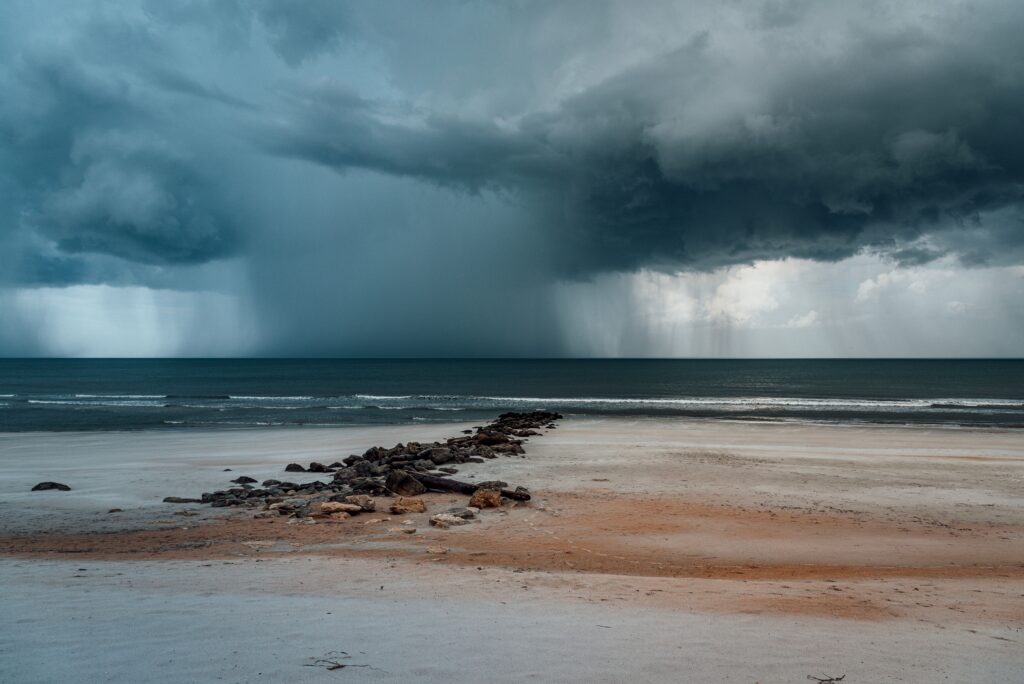
Forecasters are tracking the development of a possible tropical depression that may affect parts of the United States later this month. This system has the potential to deliver substantial rainfall and flooding risks to coastal and inland communities across the Southeast.
Earlier in the week, experts from the National Hurricane Center notified residents along the southeastern coastline about an emerging low-pressure area.
At that point, the odds of it strengthening into a tropical cyclone appeared quite small.
“An area of low pressure is expected to form in the northeastern Gulf this weekend, and now has a low chance of becoming a tropical cyclone after that time as it moves northeastward along and off the southeastern US coast,” the National Hurricane Center said.
By Saturday afternoon, the outlook had shifted. The National Hurricane Center raised the probability to a medium chance that a tropical depression will form over the Gulf of Mexico. This update reflects evolving conditions that could allow the disturbance to gain some organization.
“This system is expected to produce rainfall amounts of 2 to 4 inches with locally higher totals near 6 inches along portions of the Florida Gulf Coast, southern Alabama and southwestern Georgia,” the National Hurricane Center’s advisory stated. “Interests in those locations should monitor the progress of this system as dangerous to potentially life-threatening flash flooding is possible.”
The main threat stems from heavy precipitation rather than strong winds. Even a weak tropical depression can generate intense downpours capable of causing sudden flooding in rivers, streets, and low-lying neighborhoods. Officials continue to stress the importance of staying alert to the latest forecasts.
Areas along the Florida Gulf Coast, as well as southern Alabama and southwestern Georgia, are most likely to see the heaviest impacts. Residents in these zones should pay close attention to official updates and prepare accordingly, as weather systems of this type can strengthen more quickly than expected.
Emergency management agencies recommend several proactive steps to enhance safety. First, individuals should determine whether their homes lie within designated evacuation zones by reaching out to local authorities or visiting official preparedness websites.
Another key action involves assembling and inspecting an emergency supply kit. This includes testing flashlights, ensuring generators are ready, and confirming that storm shutters or other protective measures are in good working order.
Families are also encouraged to create a shared response plan well before any threat materializes. This means discussing communication methods, identifying safe locations to gather, and outlining specific actions each member will take if an emergency arises.
While the disturbance has not yet fully developed, meteorologists will provide regular briefings as it progresses. The system’s track and intensity could still change, making ongoing monitoring essential for those in potentially affected regions.
Local governments and weather services are prepared to issue watches or warnings if conditions warrant. In the meantime, community members can reduce risks by clearing drains, securing outdoor items, and reviewing insurance coverage related to flood damage.
Many people living near the Florida Gulf Coast are expressing hope that the system remains weak or stays offshore. A direct encounter could lead to widespread disruptions, especially during the busy summer travel period.
This developing situation underscores the value of year-round readiness during hurricane season. Simple advance preparations can make a significant difference when unexpected weather events occur.
By taking these measures seriously, residents can better protect themselves, their loved ones, and their property from the hazards associated with tropical systems. Continued attention to trusted sources will help everyone stay safe as the weekend unfolds.