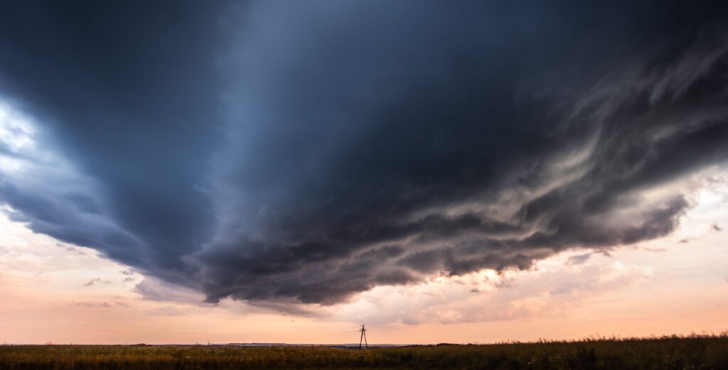
A powerful storm system sweeping through the northeastern United States has heightened concerns across the New York City metropolitan region, particularly in New Jersey, where forecasters are closely monitoring the potential for isolated tornadoes amid strong thunderstorms.
The National Weather Service has highlighted a significant severe weather risk for much of the tri-state area, rating it at a Level 3 out of 5.
This elevated threat level underscores the possibility of damaging winds exceeding 65 miles per hour, intense rainfall leading to flash flooding, and the chance for rotating storms that could produce brief tornadoes. New Jersey stands out as one of the areas facing the greatest exposure, especially in northern and central parts of the state, where the strongest thunderstorms are expected to develop.
Meteorologists note that conditions are ripe for these hazards as a vigorous cold front interacts with warm, moist air ahead of it.
In New Jersey, the storms are projected to intensify during the afternoon and evening hours, bringing not only the tornado threat but also the risk of straight-line winds capable of downing trees and power lines. Coastal and low-lying communities in the state are particularly vulnerable to rapid flooding, with rainfall rates potentially reaching two inches per hour in some spots.
While tornado watches serve as a call to stay alert rather than an immediate signal of danger, they emphasize the need for residents to remain vigilant.
Those in New Jersey should have a plan in place, such as identifying sturdy shelter away from windows and monitoring local alerts through weather apps or radio. The combination of atmospheric instability and wind shear in the region creates an environment where supercell thunderstorms could briefly spin up tornadoes, though such events are typically isolated and short-lived.
Beyond the rotational threats, the broader impacts include the potential for widespread power outages and travel disruptions during what could be a busy evening commute.
The system is also helping to clear out lingering smoke from distant Canadian wildfires, offering a silver lining as fresher air moves in behind the front. By Sunday, conditions are expected to improve significantly, setting the stage for clearer skies.
Authorities urge people in New Jersey not to underestimate the storm’s power. Simple precautions like securing outdoor objects, avoiding flooded roads, and staying informed can make a substantial difference.
As the storms progress, radar and live updates will be essential tools for tracking their movement and intensity across the Garden State and surrounding areas.
This kind of active weather pattern serves as a reminder of the region’s vulnerability to summer severe weather outbreaks. Staying prepared remains the best defense against whatever the atmosphere delivers.