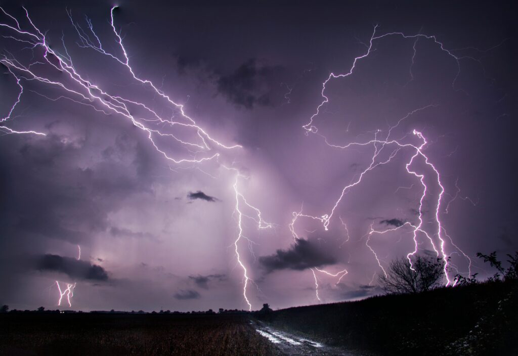
Residents across parts of the central United States are preparing for a day of intensified thunderstorm activity as forecasters issue alerts for potentially hazardous conditions.
On this Wednesday, July 8, the National Weather Service has highlighted the risk of stronger-than-usual storms that could bring a range of disruptive weather elements. These developments have prompted officials to urge communities to remain vigilant and take necessary precautions throughout the daylight hours and into the evening.
The affected regions include a cluster of states known for their variable summer weather patterns. Authorities have specifically directed attention toward Nebraska, Kansas, and Colorado, where the combination of atmospheric instability and moisture could fuel these enhanced storm systems. Meteorologists note that such events often develop rapidly, requiring prompt responses from those in the path of the disturbances.
Forecasters anticipate that the thunderstorms may produce several dangerous features. Expect powerful claps of thunder accompanied by frequent lightning strikes, along with torrential downpours that might lead to localized flooding. Strong gusts of wind could also topple unsecured objects or cause structural damage, while the possibility of sizable hail adds another layer of concern for both people and property in open areas.
In Nebraska, communities from rural farmlands to urban centers are monitoring the forecasts closely. The state’s expansive plains provide little natural barrier against advancing storm fronts, making it essential for residents to stay informed through reliable channels. Local emergency management teams are coordinating efforts to ensure public safety as the day unfolds.
Kansas faces similar threats, with the potential for storms to move across its varied terrain. From the eastern prairies to western stretches, the alerts emphasize the need for awareness, especially in areas where agriculture and outdoor activities dominate daily life. Officials remind everyone that even brief periods of severe weather can have lasting impacts if proper measures are not followed.
Colorado, with its mountainous backdrop influencing weather dynamics, is also included in the warning zone. The state’s diverse elevations can sometimes intensify storm effects, leading to rapid changes in conditions. Residents in both foothills and plains regions are advised to review their emergency plans and remain alert to updates from trusted meteorological sources.
When severe thunderstorms approach, one of the most important steps involves maintaining constant awareness of evolving conditions. Individuals should tune into regional broadcasts or specialized weather devices to receive the latest information on watches and warnings. This ongoing vigilance helps families and businesses make timely decisions that could prevent harm.
At home, the priority shifts to seeking reliable shelter as soon as a warning is issued. Move to an interior space away from exterior walls and windows where high winds or falling debris might pose risks. If possible, bring household pets along to ensure their protection, allowing enough time to gather essentials without delaying safety actions.
In professional or educational settings, protocols focus on minimizing exposure to vulnerable spots. Avoid lingering near glass surfaces that could shatter under pressure from wind or hail. Large gathering areas without substantial overhead protection, such as expansive halls or dining spaces, should be vacated in favor of more secure interior rooms until the threat passes.
For those caught outdoors when storms intensify, immediate relocation to a solid, enclosed structure is critical. Flimsy outbuildings or simple coverings offer inadequate defense against powerful elements. Experts strongly discourage seeking refuge beneath tall trees, as these can become hazards either by being uprooted or by attracting electrical discharges during lightning activity.
Travelers inside vehicles benefit from a relative degree of protection compared to open exposure, yet they must still exercise caution. If warnings escalate and time permits, head toward the nearest sturdy building rather than remaining mobile. Pulling over in a safe location and avoiding low-lying areas prone to water accumulation can further reduce risks associated with heavy rainfall and reduced visibility.
Broader preparedness extends beyond the immediate storm window, as communities reflect on the importance of long-term resilience. Regular review of family emergency kits, securing outdoor items in advance, and understanding local alert systems all contribute to safer outcomes during unpredictable weather seasons.
As these storms develop across the specified states, the shared goal remains protecting lives and minimizing disruptions through informed, proactive behavior.