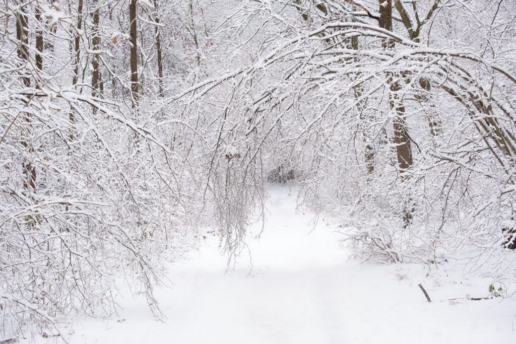
A massive winter storm has swept into the central Andes, unleashing what could turn out to be one of the heaviest snow events in years. Ski enthusiasts and locals alike are witnessing an incredible transformation after a slow, dry start to the season.
In just the first 48 hours, some areas have seen extraordinary accumulations. Chile’s iconic Portillo resort measured 105 centimeters (about 42 inches) in the initial 24 hours, followed by another 165 centimeters in the next day—adding up to a staggering 2.7 meters, or roughly nine feet, of fresh snow.
Nearby Valle Nevado has picked up around 161 centimeters (more than five feet) since Thursday, blanketing the mountains in deep powder.
Authorities haven’t wasted any time responding to the rapidly changing conditions. Chile’s Ministry of Public Works made the call to close key access routes, including G-21 and G-251, the only roads leading up to Valle Nevado.
These closures started late Wednesday as a precaution, and they could stay in place well into the weekend or longer, depending on avalanche risks and how quickly crews can safely clear the paths.
Forecasts suggest the storm might deliver anywhere from 3.5 to 6 meters (12 to 20 feet) by the time it wraps up, raising serious concerns about unstable slopes and buried infrastructure.
This deluge marks a dramatic shift for the 2026 winter season in the region. Many resorts had been forced to delay openings or operate with limited terrain due to unusually sparse snow earlier on. Now, the sudden heavy snowfall brings both excitement and challenges.
Valle Nevado has been reaching out to guests, encouraging them to hold off on trying to drive up and offering flexible options like early check-ins to ease the disruption.
Portillo, meanwhile, has shut down completely for the time being, with no firm reopening date in sight. High winds and whiteout conditions are making things even trickier, spiking avalanche dangers and leaving higher elevations largely isolated.
Meteorologists point to a strong atmospheric river pulling in plenty of moisture from the Pacific as the main driver behind this intense system.
While this particular storm hasn’t been officially linked to El Niño, the developing pattern is expected to bring more of these moisture-laden systems to the area in the coming months, which could mean a much snowier stretch ahead.
For now, the focus remains on safety as the mountains continue to pile up with snow. It’s a powerful reminder of how quickly conditions can change in high-altitude terrain—and a welcome boost for the ski season that was off to such a quiet beginning.