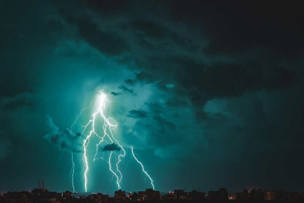
The National Weather Service has issued alerts for potentially hazardous thunderstorms across a wide swath of the United States today. Residents in more than a dozen states should prepare for intense activity that could bring heavy downpours, powerful gusts, and possibly sizable hailstones.
Officials emphasize the importance of staying informed as conditions evolve throughout the day, with risks extending from the central plains into parts of the Midwest and East Coast.
Forecasters indicate that as many as 15 states may experience significant impacts from these severe weather systems. The storms are expected to develop and move through various regions, delivering not only lightning and thunder but also the potential for damaging winds and isolated large hail. Travelers and outdoor enthusiasts are urged to monitor updates closely to avoid being caught in deteriorating conditions.
Among the areas placed under heightened vigilance are North Dakota, South Dakota, Nebraska, Kansas, and Colorado.
Further east and south, the list includes Oklahoma, Missouri, Illinois, and Indiana. Additional states receiving notifications encompass Kentucky, Virginia, Maryland, Delaware, New Jersey, and Pennsylvania.
This broad coverage highlights the expansive nature of the weather pattern affecting much of the country on this date.
Experts recommend maintaining constant awareness through reliable sources as thunderstorms intensify. Individuals should tune into local broadcasts or specialized weather radio channels for the latest on watches and warnings. Such proactive steps can make a critical difference when rapid changes occur in storm severity.
When at home during these events, it is essential to move to a safe interior space upon hearing a severe thunderstorm warning. Strong winds or hail could arrive suddenly, so gathering family members and pets promptly helps ensure everyone’s protection. Avoiding areas near exterior walls or windows reduces exposure to flying debris or breakage.
In workplaces or educational settings, people should steer clear of glass surfaces if warnings are active and damaging elements are nearing. Large gathering spots like dining halls, sports facilities, or open auditoriums may not offer adequate shielding, making smaller, more enclosed rooms preferable for waiting out the threat.
Those caught outdoors face particular dangers and must seek solid shelter without delay as storms approach. Structures like basic sheds or flimsy outbuildings provide little security against high winds or lightning. Taking cover beneath trees is especially hazardous, as falling branches or direct strikes could lead to serious injury or worse.
Vehicle occupants generally enjoy better protection than those fully exposed, yet it remains wise to head toward a sturdy building if time permits. Pulling over safely and avoiding travel through the worst of the weather can prevent accidents related to reduced visibility or hydroplaning on rain-slicked roads.
Communities in the affected zones are encouraged to review emergency plans ahead of peak storm hours. Simple preparations, such as charging devices and securing loose outdoor items, can minimize property damage and personal risk. Coordination with neighbors may also prove valuable in regions prone to power outages following intense gusts.
As the day progresses, officials continue to stress vigilance and common-sense safety measures.
By heeding these guidelines and staying updated, residents across the warned states can navigate the severe weather with greater confidence and reduce the chances of harm from lightning, wind, or hail.