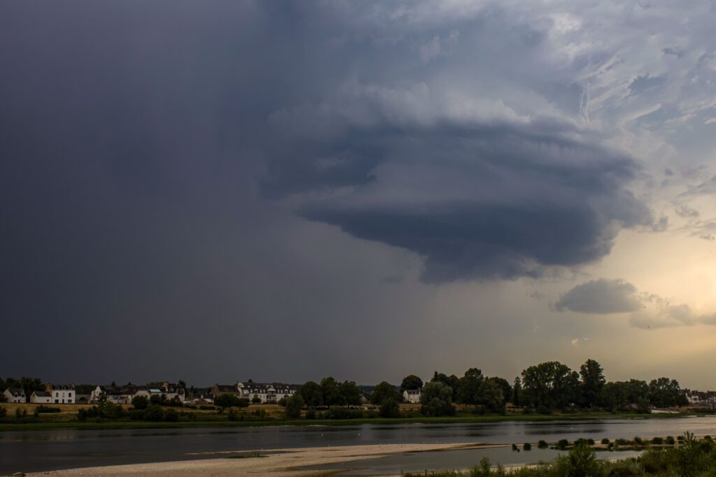
Residents of Lincoln Park, New Jersey, and much of the broader tri-state region are under a Tornado Watch this Tuesday afternoon and evening as a line of potent thunderstorms sweeps through the area.
Issued by the National Weather Service office in Mount Holly, the watch remains active until 9 PM EDT, covering Morris County and numerous neighboring counties across New Jersey, Pennsylvania, and parts of Delaware.
This alert signals that atmospheric conditions are favorable for the development of tornadoes within the specified zones.
While not every storm will produce one, the environment supports the possibility of brief, isolated rotations amid the heavier activity. Forecasters note that the primary risks with these storms include damaging winds, but the tornado potential adds an extra layer of urgency for those in the affected communities.
Lincoln Park sits squarely within the watch area, alongside other parts of northern and central New Jersey. The NWS has highlighted a broad swath of locations, from urban centers like Morristown and Trenton to more suburban and rural spots, emphasizing the widespread nature of the threat.
Cities such as Philadelphia, Allentown, and Atlantic City also fall under the advisory, illustrating how expansive this weather system has become.
Compounding the situation are ongoing flash flood concerns. Multiple Flash Flood Warnings are active for portions of Morris County, including areas around Lincoln Park, where heavy downpours have already led to localized flooding on roads like Interstate 80.
Radar indicates thunderstorms capable of dropping 1 to 2 inches of rain per hour, which can quickly overwhelm small streams, urban drainage systems, and low-lying spots. Motorists are being strongly cautioned to avoid flooded roadways, as the majority of flood-related fatalities occur in vehicles.
A broader Flood Watch also covers much of the region through late tonight, pointing to the cumulative effects of repeated rounds of heavy rain. Earlier storms have already saturated soils in some locations, raising the risk that additional rainfall could trigger more significant runoff and flooding in rivers, creeks, and poor-drainage neighborhoods.
The storms are expected to move through in waves, with the potential for the strongest activity during the afternoon and evening hours. Residents should stay informed through local alerts, keep an eye on the sky, and have a safety plan in place.
This includes identifying sturdy shelter away from windows and knowing the difference between a watch—meaning conditions are ripe—and a warning, which indicates an imminent or occurring tornado.
While severe weather events like this are not uncommon in the summer months for the Northeast, the combination of tornado potential and flash flooding requires heightened vigilance.
Communities in Lincoln Park and nearby towns are encouraged to monitor updates from the National Weather Service and local emergency management as the situation evolves through the evening. Stay safe by limiting travel if possible and preparing for possible power outages or travel disruptions.