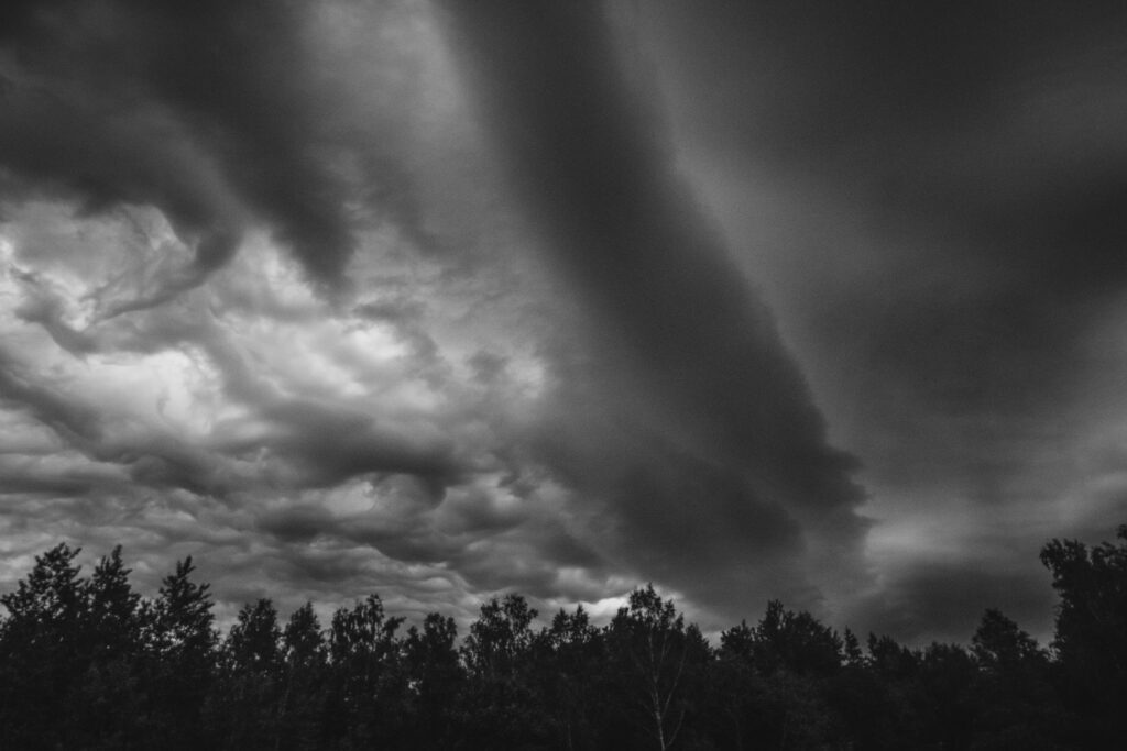
Folks in Massachusetts should keep an eye on the sky over the next day or two, as a stretch of unsettled weather is set to bring showers, thunderstorms, and the potential for some stronger storms, including a possible tornado threat.
While nothing looks catastrophic, there’s enough going on to warrant paying attention, especially Tuesday evening through early Wednesday.
The first batch of showers is expected to start popping up as early as late Tuesday afternoon, with the activity really ramping up during the evening and overnight hours. Meteorologists are watching for the possibility of strong to severe storms that could deliver heavy downpours.
In spots with poor drainage or in urban areas, that could lead to some localized flash flooding. Rainfall amounts look to hit an inch or more across much of southern New England, with isolated spots—particularly along the South Shore and out on Cape Cod and the Islands—potentially seeing over two inches.
Adding a bit of extra drama to the forecast is a low but non-zero chance of a brief tornado or a quick spin-up, thanks to some favorable wind shear in the atmosphere. It’s not the kind of setup that screams widespread twister risk, but it’s enough that forecasters are mentioning it as something to be aware of during the most active window Tuesday night into Wednesday morning.
By Wednesday morning, most of the overnight rain should be winding down, but that doesn’t mean the coast is completely clear.
Another round of scattered thunderstorms could fire up by mid-afternoon, especially across western and central parts of the state. Those storms could pack a punch too, so it’s worth staying weather-aware through the afternoon and evening.
Here’s how a few spots around the commonwealth are shaping up for Tuesday: Boston looks to reach the low 80s with a good chance of showers and thunderstorms, while areas like Springfield and Worcester will feel similar with heavy rain possible at times.
Out on the Cape in Hyannis, highs near 80 with mostly cloudy skies, and Pittsfield in the Berkshires stays a bit cooler in the mid-70s with showers likely.
The good news is that relief is on the way. A cold front should push through and clear things out by Thursday morning, setting up a nice stretch of dry, more comfortable weather from Thursday through Saturday.
Temperatures will feel more seasonable, and the humidity should drop off noticeably, making for those pleasant summer days that remind you why we put up with the occasional stormy spell.
In the meantime, it’s a solid idea to have a plan for quick-moving storms—maybe keep that phone charged for alerts and avoid driving through any flooded roads. Stay safe out there, Massachusetts.