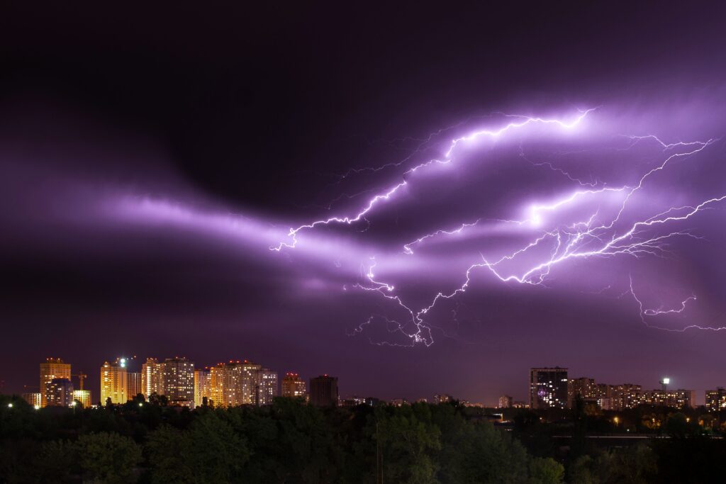
An expansive and volatile weather pattern is unfolding across the United States, threatening millions of residents with back-to-back days of severe storms, dangerous straight-line winds, flash flooding, and tropical developments.
Meteorologist Ryan Hall detailed the multi-day event, emphasizing that nearly 80 million people stretching from the Ohio Valley through the Mid-Atlantic and into the Northeast find themselves directly in the crosshairs of an upcoming severe storm corridor.
The threat begins in earnest across the Upper Midwest. An enhanced risk zone covers over seven million people in portions of Iowa, Minnesota, and Wisconsin, affecting cities like Madison, Milwaukee, and Green Bay. A morning round of weakening storms will give way to a highly unstable atmosphere later in the day. Driven by explosive storm fuel and intense wind shear, early rotating supercells could yield large hail and an elevated tornado threat, particularly near a surface low in northeast Iowa.
These isolated cells are projected to rapidly merge into a fast-moving bowing line capable of producing destructive wind gusts exceeding 75 miles per hour. This presents an immediate hazard for high-profile regional events, including the opening of the EAA AirVenture in Oshkosh, where campers and visitors are urged to identify sturdy shelters beforehand.
What happens during these overnight hours will serve as a critical wild card for the following day’s severe weather. Residual cloud cover and wildfire smoke could potentially sap some atmospheric energy, but if the atmosphere recovers, Tuesday will bring widespread disruption to the densely populated I-95 corridor and Ohio Valley.
An unusually deep upper-level trough is fueling a massive system that places over ten million people under an enhanced risk around Cincinnati, Lexington, Pittsburgh, and Charleston, West Virginia.
As the system charges southeast, the primary danger will transition into a significant straight-line wind event. Multiple rounds of intense storms are capable of downing trees, knocking out power, and blocking major roadways.
Due to the high speed of the advancing line segment, there will be very little time between the issuance of weather warnings and the arrival of damaging winds. Major metropolitan areas like Philadelphia and New York City are expected to see these storms arrive after dark, complicating safety efforts and potentially impacting scheduled outdoor events like Major League Baseball games.
Beyond the wind, a secondary threat of localized flash flooding looms large. Soil conditions near Pittsburgh are already heavily saturated from recent downpours, leaving the region highly vulnerable to training storms that could dump an additional two to four inches of rain.
Urbanized coastal areas along the Mid-Atlantic will experience similar flash flooding risks by Tuesday night due to excessive moisture in the air swamping city drains and underpasses. Travel disruptions are highly likely, with major airport hubs in Cincinnati, Philadelphia, and New York bracing for ground stops and flight diversions.
Simultaneously, tropical activity is ramping up along the Gulf Coast. Tropical Depression Two has organized roughly 170 miles southeast of Panama City, Florida, prompting tropical storm watches for the Florida Panhandle.
The system is forecast to strengthen into Tropical Storm Bertha. Blocked by a building high-pressure ridge, the system will track slowly northwest before shifting straight west toward the northern Gulf Coast by midweek. While dry air and moderate wind shear should prevent rapid intensification, it remains a dangerous rainmaker. Widespread totals of two to four inches, with isolated pockets reaching up to eight inches, threaten to cause urban and street flooding across Florida, Alabama, Mississippi, and Louisiana through Thursday.
By Wednesday, the severe storm threat will slide south into the Carolinas and southern Mid-Atlantic, bringing damaging wind risks to Charlotte and Raleigh. Looking further ahead into late July, the severe storm threat will temporarily quiet down, only to be replaced by a expanding heat ridge.
A dangerous stretch of extreme heat is forecast to settle over the Central and Southern Plains, sending heat indices over 110 degrees as far north as Iowa and South Dakota, proving that summer’s volatile grip is far from over.