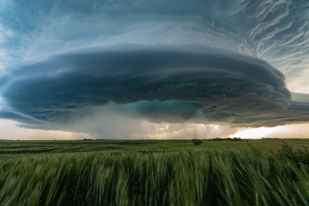
The Chicago area could face its most significant severe weather threat in weeks Monday night, with meteorologists warning that conditions may become favorable for isolated tornadoes as a powerful storm system sweeps across northern Illinois.
Forecasters say thunderstorms are expected to develop during the late afternoon and evening ahead of an approaching cold front, with the greatest risk for severe weather arriving after sunset and continuing into the overnight hours. While not every community is expected to see severe storms, those that do develop could quickly intensify and produce damaging weather.
The primary concern remains destructive straight-line winds capable of bringing down trees and power lines, but forecasters say the atmosphere may also support rotating thunderstorms capable of producing tornadoes.
Large hail and periods of torrential rainfall are also possible, particularly in areas where storms repeatedly move over the same locations. The National Weather Service has urged residents to stay alert throughout the evening, noting that all modes of severe weather are possible as the storms move across the region.
The greatest uncertainty involves exactly where the strongest storms will form and whether they will remain organized as they approach the Chicago metropolitan area. Forecast models indicate that some neighborhoods could experience little more than heavy rain, while others may encounter intense thunderstorms capable of producing damaging winds or a brief tornado.
Because of that uncertainty, forecasters are encouraging residents across northern Illinois and northwest Indiana to monitor the latest forecast updates throughout the day.
The timing of the threat is especially concerning because the most active period is expected during the evening and overnight hours, when many people are asleep. Nighttime tornadoes are often more dangerous because they are difficult to see and can catch people off guard.
Emergency officials recommend having multiple ways to receive weather warnings, including smartphone alerts, weather radios and local television broadcasts.
Monday’s storm threat comes as the region continues to deal with poor air quality caused by wildfire smoke drifting south from Canada. While rainfall and changing winds associated with the storm system could temporarily improve visibility and reduce smoke concentrations, meteorologists caution that any improvement may be short-lived as smoke is expected to linger in the region through much of the week.
The Storm Prediction Center has placed portions of the Chicago area under a Level 2 and Level 3 risk for severe weather, indicating that scattered severe thunderstorms are possible, with some capable of producing significant impacts.
Although tornadoes are not expected to be widespread, forecasters emphasize that even a single tornado can cause considerable damage, making it important for residents to remain prepared until the threat has passed.
Weather conditions can change rapidly, and the exact timing and intensity of the storms will become clearer as they develop Monday afternoon. Until then, meteorologists are advising residents not to focus solely on the tornado threat but to be prepared for all forms of severe weather that could accompany the approaching line of storms.